Cliffe Pools Nature Reserve
![]()
![]() Enjoy a circular walk around this delightful RSPB nature reserve in the North Kent Marshes. You can stroll along the numerous pools and enjoy a riverside section along the Thames. It's brilliant for wildlife spotting with huge numbers of wintering waders to look out for.
Avocet, Lapwing, Little egret and Turtle Dove are all regular visitors to the site.
Enjoy a circular walk around this delightful RSPB nature reserve in the North Kent Marshes. You can stroll along the numerous pools and enjoy a riverside section along the Thames. It's brilliant for wildlife spotting with huge numbers of wintering waders to look out for.
Avocet, Lapwing, Little egret and Turtle Dove are all regular visitors to the site.
Cliffe Pools is located close to Rochester and Gravesend. You can park in the little village of Cliffe and walk to the reserve from there quite easily.
The Saxon Shore Way long distance walk runs past the site so you could walk from Gravesend along the Thames to the reserve. It is a five mile walk from the town centre.
The Hoo Peninsula Path also passes the reserve so this is another great option if you would like to extend your walk. It will take you along the Thames estuary to Gravesend in one direction and Allhallows in the other.
Postcode
ME3 7SX - Please note: Postcode may be approximate for some rural locationsCliffe Pools Nature Reserve Ordnance Survey Map  - view and print off detailed OS map
Cliffe Pools Nature Reserve Open Street Map  - view and print off detailed map
Cliffe Pools Nature Reserve OS Map  - Mobile GPS OS Map with Location tracking
Cliffe Pools Nature Reserve Open Street Map  - Mobile GPS Map with Location tracking
Further Information and Other Local Ideas
The circular Gravesend Walk visits the reserve from the nearby town. It then returns along the now disused Thames and Medway Canal.
The Thames Estuary Path also passes through the reserve. The long distance trail will take you to Foulness Island or the Isle of Sheppey.
Just east of Rochester there's the attractive village of Upnor with its English Heritage owned 16th century castle and quaint old village centre.
For more walking ideas in the area see the Kent Walks page.
Cycle Routes and Walking Routes Nearby
Photos
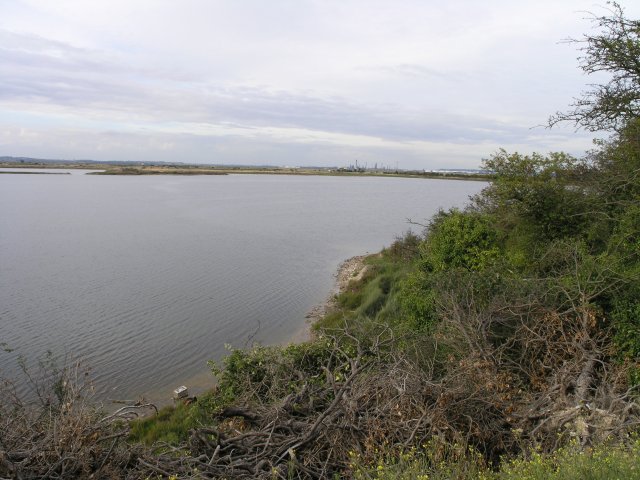
RSPB Cliffe Pools Nature Reserve. Many of the pools that occupy this area are managed by the RSPB, and some rare birds can sometimes be observed. The pool shown in this picture is named Radar Pool on the RSPB literature due to the towering radar mast that overshadows the pool. Tilbury power station can be seen in the distance
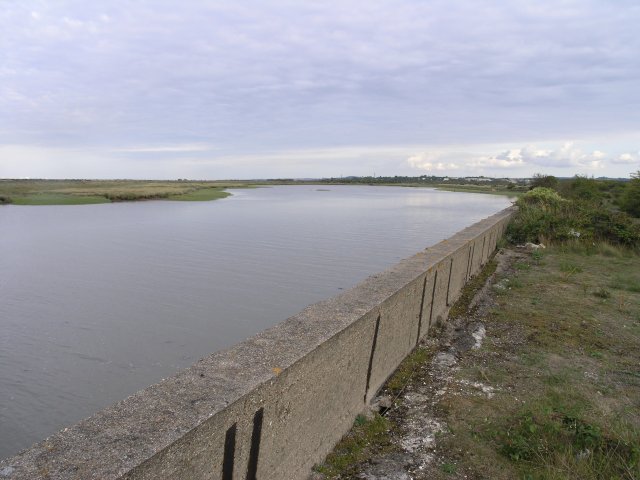
Radar Pool, near Cliffe. Many of the pools that occupy this area are managed by the RSPB, and some rare birds can sometimes be observed.


