Coaley Peak
![]()
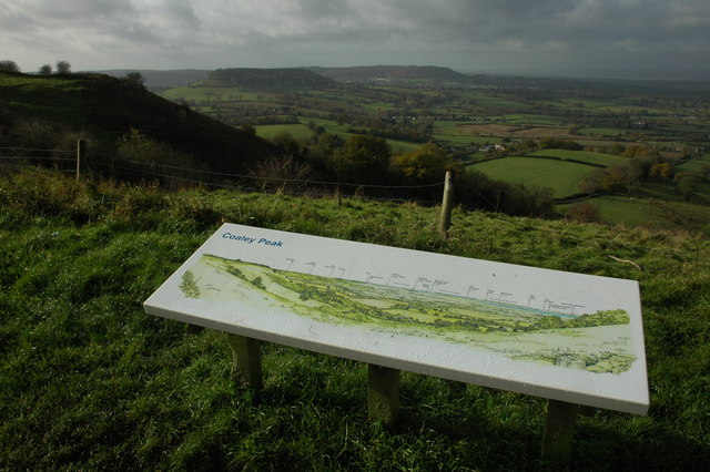
![]() This walk takes you to the Coaley Peak viewpoint from the village of Uley in the Cotswolds. The walk uses part of the Cotswold Way National Trail to take you through Coaley Wood to the viewpoint. At the peak there is a display showing all the landmarks you can see in the area.
This walk takes you to the Coaley Peak viewpoint from the village of Uley in the Cotswolds. The walk uses part of the Cotswold Way National Trail to take you through Coaley Wood to the viewpoint. At the peak there is a display showing all the landmarks you can see in the area.
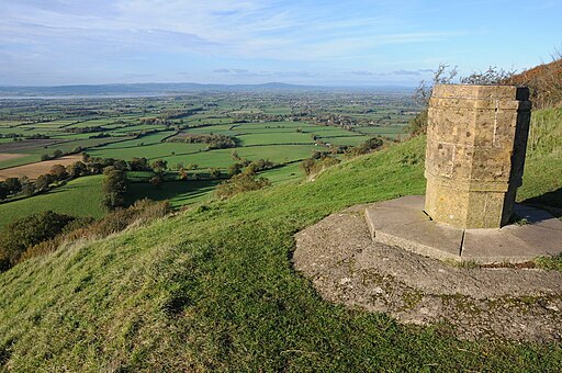
The walk starts from the car park on Crawley Hill road next to Uley Bury. It's worth exploring the Iron Age hill fort on Uley Hill before starting your climb to the peak. From here you head north through the woods for about 1.5 miles before reaching the viewpoint. Here you will find farmland and a wildflower meadow. There are also splendid views over the Severn Vale and the Forest of Dean.
There is a good sized car park at the site if you prefer to visit directly. See the google street view link below for the view from there.
Near the hill you will find Woodchester Park which is a great place to extend your walk. The extensive park includes a series of lakes and woodland trails.
Just to the south west is the lovely Cam Peak near Dursley. You can cross Cam Long Down on the Cotswold Way with more great views to enjoy.
Postcode
GL11 5AU - Please note: Postcode may be approximate for some rural locationsCoaley Peak Ordnance Survey Map  - view and print off detailed OS map
Coaley Peak Open Street Map  - view and print off detailed map
Coaley Peak OS Map  - Mobile GPS OS Map with Location tracking
Coaley Peak Open Street Map  - Mobile GPS Map with Location tracking
Explore the Area with Google Street View 
Pubs/Cafes
Head into nearby Dursley and there's lots of good options for refreshments. The Old Spot Inn dates back to 1776 and includes a charming interior with low ceilings and comfortable connecting bar-rooms which are adorned with interesting "breweriana" from times gone by. The inn is also a CAMRA National Pub of the Year with a fine range of ales to choose from. Outside there's a lovely garden area where you can relax on warmer days. You can find the pub at 2 Hill Road with a postcode of GL11 4JQ.
Dog Walking
It's a nice walk for dogs with woodland areas and more open country sections. The Old Spot Inn in Dursley also welcomes dogs.
Further Information and Other Local Ideas
You can continue your walking in the area by trying the circular Dursley Walk. This climbs to the nature reserve at Cam Peak before visiting the Iron Age Hillfort at Uley Bury. Both sites are located very close to the car park on this route.
For more walking ideas in the area see the Cotswolds Walks page.
Cycle Routes and Walking Routes Nearby
Photos
View to the south-west from Coaley Peak on Frocester Hill. In the middle distance to the left of centre is Cam Long Down, beyond below the wooded hill in the centre is the town of Dursley. To the right is the valley is the Severn estuary.
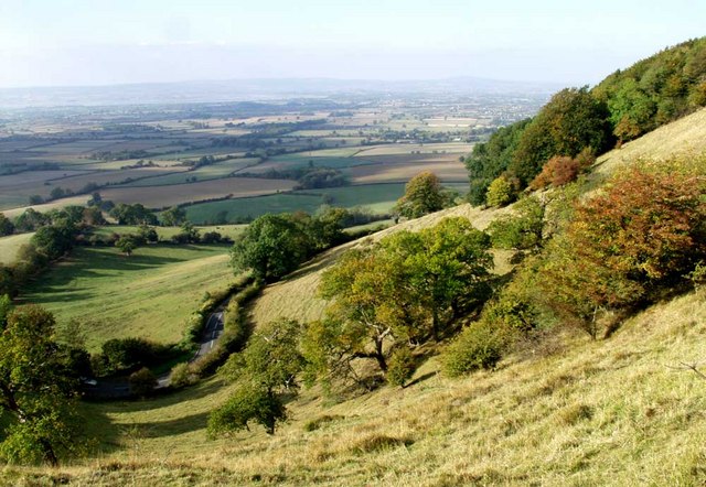
The gradiant of the hill at Coaley Peak in Gloucestershire. Just south of Nympsfield Long Barrow, which was built at this high point in the landscape.
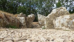
Floor view of the chamber at Nympsfield Long Barrow. The ancient site is located just north of the peak. Constructed in the Neolithic period, it has long been the subject of local legends. It is one of the earliest examples of a barrow with separate chambers, dating to around 2800 BC.
