Uley Bury Walk
![]()
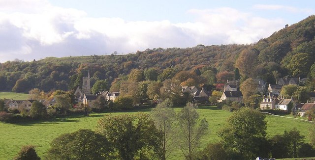
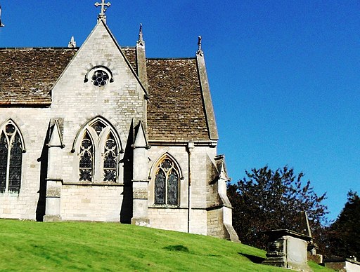
![]() The Gloucestershire village of Uley sits in a scenic location in the Cotswolds escarpment.
The Gloucestershire village of Uley sits in a scenic location in the Cotswolds escarpment.
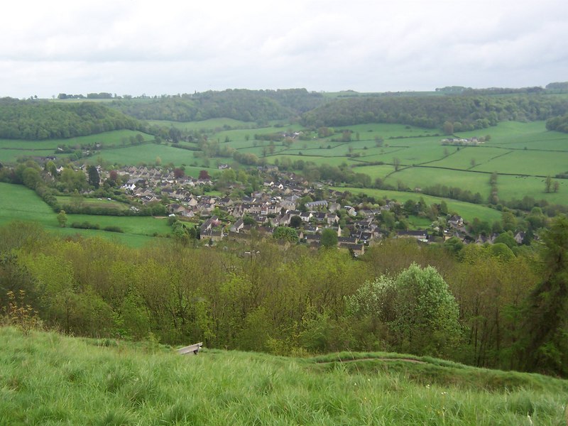
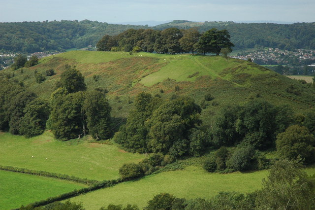
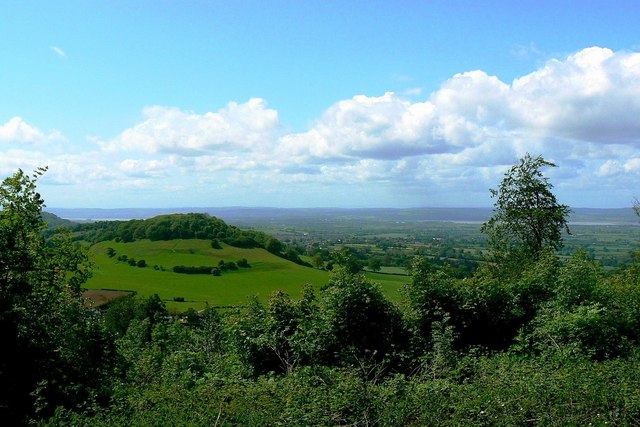
This circular walk from the village climbs to the Iron Age hill fort and viewpoint at Uley Bury which lies just to the north west of the settlement. The ancient fort stands at a height of 750 feet (235 metres), providing some glorious views over the Severn Vale.
You can continue the walk by picking up the Cotswold Way on the northern side of the hill. Follow the trail west and it will take you to another fine viewpoint at Cam Peak near Dursley.
Postcode
GL11 5SN - Please note: Postcode may be approximate for some rural locationsUley Bury Ordnance Survey Map  - view and print off detailed OS map
Uley Bury Open Street Map  - view and print off detailed map
Uley Bury OS Map  - Mobile GPS OS Map with Location tracking
Uley Bury Open Street Map  - Mobile GPS Map with Location tracking
Walks near Uley Bury
- Dursley - The market town of Dursley is located in an excellent position on the edge of the Cotswolds escarpment and near to the countryside of the Severn Vale
- Stinchcombe Hill - This walk climbs to the lovely viewpoint at Stinchcombe Hill in the Cotswolds
- Tyndale Monument - This is a climb to the Tyndale Monument from the popular Cotswolds town of Wotton-under-Edge
- Wotton-under-Edge - A circular walk around this pretty Cotswolds town using the Cotswold Way and other public footpaths
- Coaley Peak - This walk takes you to the Coaley Peak viewpoint from the village of Uley in the Cotswolds
- Woodchester Park - This National Trust owned park in the Cotswolds is the perfect place for a peaceful afternoon stroll.
- Kingswood - This pretty Gloucestershire village is located just south of Wotton-under-Edge in the Cotswolds.
- Berkeley - This small Gloucestershire town has some nice local river and canalside trails to try
- Cam Peak Dursley - Enjoy a circular walk across Cam Long Down to Cam Peak on this lovely walk in Dursley
- Cotswold Way - This trail takes you through some of the most beautiful countryside in England
Pubs/Cafes
After your walk you can enjoy some well earned refreshment at the Old Crown. The historic pub dates back to 1638 and is located in a pleasant spot next to the Green. The listed pub includes a fine interior with a low-timbered ceiling and a cosy real fire. Outside there's a walled garden for warmer days. You can find them at postcode GL11 5SN.
The pub is also dog friendly and includes a car park and rooms.
Photos
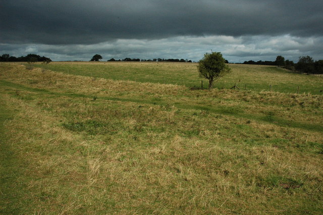
Uley Bury. The Iron Age hill fort of Uley Bury dates from the 300BC, here the interior is viewed from the south. The fort is protected on three sides by the steep Cotswold escarpment.
Downham Hill. The tree topped Downham Hill viewed from Uley Bury, part of the town of Dursley is in the middle distance with Stinchcombe Hill above it. The Hills of Wales can be seen on the far horizon.
