Corris Walks

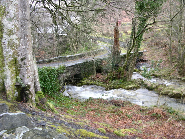
 This pretty riverside village is located near Machynlleth in the county of Gwynedd.
The village is known for the Corris Railway, a narrow gauge heritage railway with steam trains taking you through the lovely Dulas Valley.
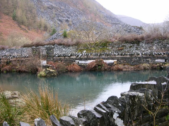
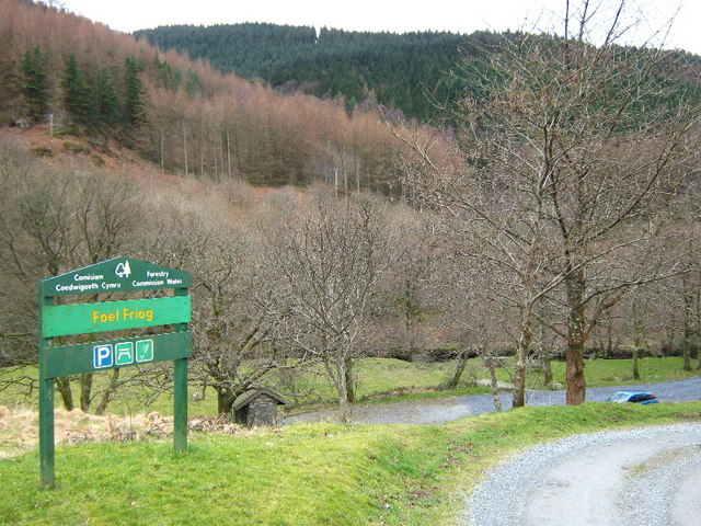
This walk from the village takes you along the Afon Dulas to nearby Aberllefenni. It's about a 2.3 mile walk, skirting the edge of the expansive forest which lies just to the east of the setllement. You finish in Aberllefenni where you can visit the old quarry and the photogenic local waterfalls.
You can extend the walk by continuing north east to visit the nearby Dyfi Forest. Here you will find miles of walking and cycling trails. The long distance Dyfi Valley Way can also be picked up in this area.
If you head a few miles west there's some lovely waterside trails around the picturesque Tal-y-llyn Lake.
Postcode
SY20 9SP - Please note: Postcode may be approximate for some rural locationsCorris Ordnance Survey Map  - view and print off detailed OS map
Corris Open Street Map  - view and print off detailed map
Corris OS Map  - Mobile GPS OS Map with Location tracking
Corris Open Street Map  - Mobile GPS Map with Location tracking
Walks near Corris
- Machynlleth - This market town in Powys has some lovely trails to try through the Dovey and Lllyfnant Valleys
- Dyfi Valley Way - A walk through the beautiful Dyfi Valley taking you from Aberdovey (Aberdyfi) on the coast to Llanuwchllyn before returning along the river to Borth
- Glyndwr's Way - Starting at Knighton on the English/Welsh border follow this wonderful 135 mile long trail through some of the most stunning landscape in Wales
- Dinas Mawddwy - This attractive town in Snowdonia sits at the confluence of three rivers in the lovely Dyfi Valley
- Cadair Idris - The epic circular walk to the 893 m (2,930 ft) summit of Cadair Idris is one of the most popular climbs in the Snowdonia National Park
- Llyn Cau - This walk climbs to the beautiful Llyn Cau on the slopes of Cadir Idris in the Snowdonia National Park
- Tal-y-llyn Lake - Enjoy a waterside walk around this stunning glacial lake in the Snowdonia National Park
- Cregennan Lakes - This circular walk takes you around these two beautiful lakes in Snowdonia
- Bala Lake - Bala Lake (or Llyn Tegid) is the largest natural lake in Wales
- Abergynolwyn - This South Gwynedd village is located in the southern section of the Snowdonia National Park.
- Dyfi Forest - This expansive forest is located in the Dyfi Valley area of the Snowdonia National Park.
- Castell Y Bere - This circular walk visits Castell Y Bere, near Abergynolwyn in the Snowdonia National Park.
Pubs/Cafes
Head to The Slater’s Arms for some rest and refreshment after your exercise. The inn is named after the historical primary trade of the townsfolk of Corris. The Grade II listed pub has a charming old interior with traditional features such as slate flooring and a decorative mantelshelf above a large inglenook fireplace.
They serve good quaity food and also provide accommodation if you would like to stay in the area. You can find them on Bridge Street at postcode SY20 9SP for your sat navs. The pub is also dog friendly.


