Cosgrove Canal Walk
![]()
![]() This canalside Northamptonshire based village is a nice place to start a walk. There's easy trails along the Grand Union Canal and more waterside walks along the River Great Ouse to the south.
This canalside Northamptonshire based village is a nice place to start a walk. There's easy trails along the Grand Union Canal and more waterside walks along the River Great Ouse to the south.
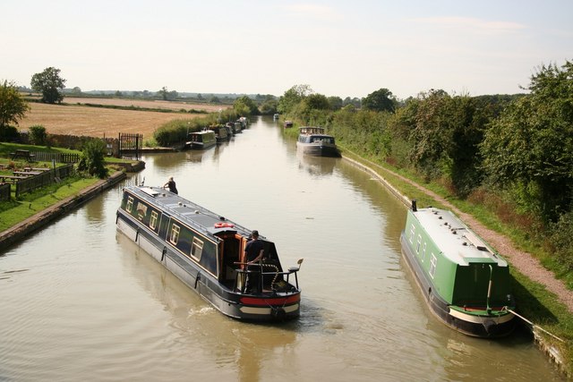
This circular walk from the village takes you along a section of the Grand Union Canal before following a section of the Hanslope Circular Ride through the countryside to the neighbouring village of Castlethorpe.
The walk starts in the village where you can pick up a section of the Milton Keynes Boundary Walk and follow it north along the canal towpath to Thrupp Wharf and Yardley Wharf near Yardley Gobion.
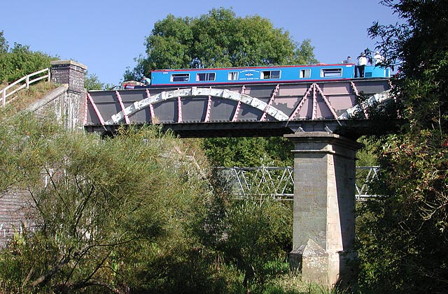
Just before Grafton Regis you turn east to link up with the Hanslope Circular Ride. This shared cycling and walking trail will takes you south past Lincoln Lodge to Castlethorpe. From here you head south west, crossing the River Tove near Castlethorpe Mill before skirting the edge of Cosgrove Leisure Park and returning to the village. From here you can extend the walk by heading south east to visit the The Iron Trunk Aqueduct. The structure was built in 1811 and carries the Grand Union Canal over the River Great Ouse, on the borders between Buckinghamshire and Northamptonshire.
Postcode
MK19 7JD - Please note: Postcode may be approximate for some rural locationsCosgrove Ordnance Survey Map  - view and print off detailed OS map
Cosgrove Open Street Map  - view and print off detailed map
Cosgrove OS Map  - Mobile GPS OS Map with Location tracking
Cosgrove Open Street Map  - Mobile GPS Map with Location tracking
Pubs/Cafes
The Barley Mow is a good choice for post walk refreshment. Housed in a lovely 17th Century building the pub boasts a large beer garden to relax in during the summer months. You can find them next to the canal at postcode MK19 7JD.
Dog Walking
The towpaths make for a pleasant dog walk and the Barley Mow mentioned above is also dog friendly.
Further Information and Other Local Ideas
Head south and you could enjoy a stroll along the River Great Ouse to the Stony Stratford Nature Reserve. There's several ponds with lots of wildlife to look out for here.
For more walking ideas in the area see the Northamptonshire Walks page.
Cycle Routes and Walking Routes Nearby
Photos
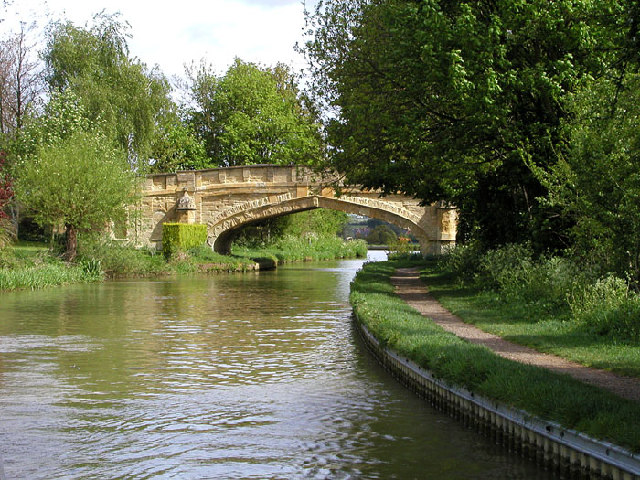
Solomon's Bridge, Cosgrove. This bridge, no. 65, is one of the most unusual on the canal network - nowhere else is this gothic style used. It was probably built this way in 1800 to appease a local landlord, but the exact circumstances are lost in the mists of time.


