Cwm Pennant
![]()
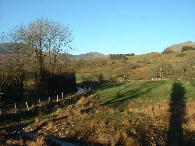
![]() This circular walk explores the beautiful Cwm Pennant in the Snowdonia National Park.
This circular walk explores the beautiful Cwm Pennant in the Snowdonia National Park.
This stunning valley stretches from north of the villages of Dolbenmaen and Golan towards the Drwys y Coed pass, between Moel Hebog and Crib Nantlle.
The walk starts at some roadside parking a few miles north east of Dolbenmaen. You can then follow a mixture of country lanes and footpaths through the area which includes lovely views of the Afon Dwyfor and the surrounding mountains of Snowdonia.
Postcode
LL51 9AX - Please note: Postcode may be approximate for some rural locationsCwm Pennant Ordnance Survey Map  - view and print off detailed OS map
Cwm Pennant Open Street Map  - view and print off detailed map
Cwm Pennant OS Map  - Mobile GPS OS Map with Location tracking
Cwm Pennant Open Street Map  - Mobile GPS Map with Location tracking
Further Information and Other Local Ideas
Just to the north east there's miles of good cycling and walking trails around the expansive Beddgelert Forest. The Lon Gwyrfai multi user path skirts the eastern edge of the forest. The trail runs between Rhyd Ddu and Beddgelert along a nice easy surfaced path.
For more walking ideas in the area see the Beddgelert Walks and the Snowdonia Walks pages.
Cycle Routes and Walking Routes Nearby
Photos
Cwm Pennant. This is one of the wonderful wild places of Wales. The hills in the background are the Nantlle Ridge.


