Daer Reservoir
![]()
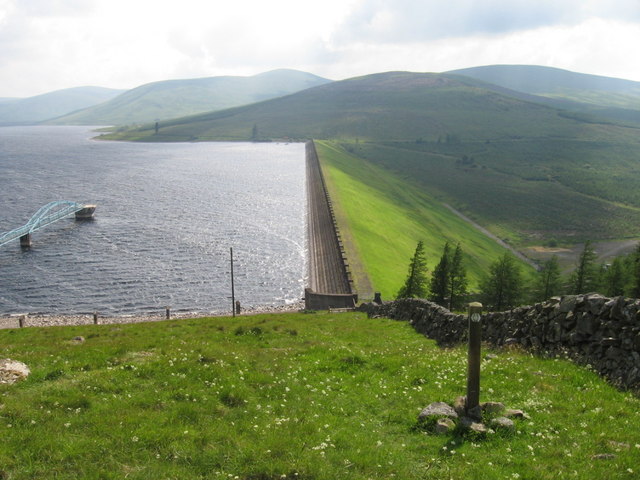
![]() This walk visits Daer Reservoir in the Lowther Hills of South Lanarkshire in the Southern Uplands of Scotland. It's a lovely peaceful place for a walk with fine scenery to enjoy.
This walk visits Daer Reservoir in the Lowther Hills of South Lanarkshire in the Southern Uplands of Scotland. It's a lovely peaceful place for a walk with fine scenery to enjoy.
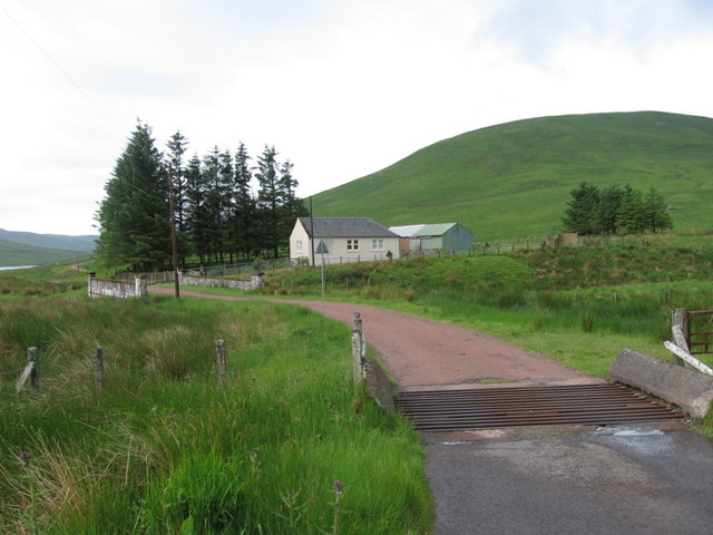
You can start the walk at the northern end of the water where you can enjoy a walk along the dam. You can then follow a country lane track along the western side of the water, with fine views to the surrounding hills.
The epic Southern Upland Way long distance trail passes the dam so you can pick this up to extend your walk. There's also the climb to Hitteril Hill on the western side where you can enjoy some great views over the area.
Postcode
ML12 6TJ - Please note: Postcode may be approximate for some rural locationsDaer Reservoir Ordnance Survey Map  - view and print off detailed OS map
Daer Reservoir Open Street Map  - view and print off detailed map
Daer Reservoir OS Map  - Mobile GPS OS Map with Location tracking
Daer Reservoir Open Street Map  - Mobile GPS Map with Location tracking
Further Information and Other Local Ideas
Head south and you can visit Loch Ettrick in Glen Ettrick. The expansive Ae Forest is located next to the loch. The long distance Romans and Reivers Route starts in the forest. This 52 mile route follows the old Roman Roads to Hawick in the Scottish Borders. Following the trail north east will take you to Moffat where you can enjoy a riverside walk along the River Annan on the Annadale Way.
Also near here is the Crichope Linn waterfall at Gatelawbridge. Here you'll find a wooded red sandstone gorge with interesting rock formations, carvings and a pretty waterfall. Near here there's also the 17th century Drumlanrig Castle. The castle is surrounded by extensive grounds with several waymarked walking paths and some challenging mountain bike trails to try.
To the north east there's more fine waterside walking at Megget Reservoir, Talla Reservoir, Camps Reservoir and St Mary's Loch to enjoy.


