Megget Reservoir

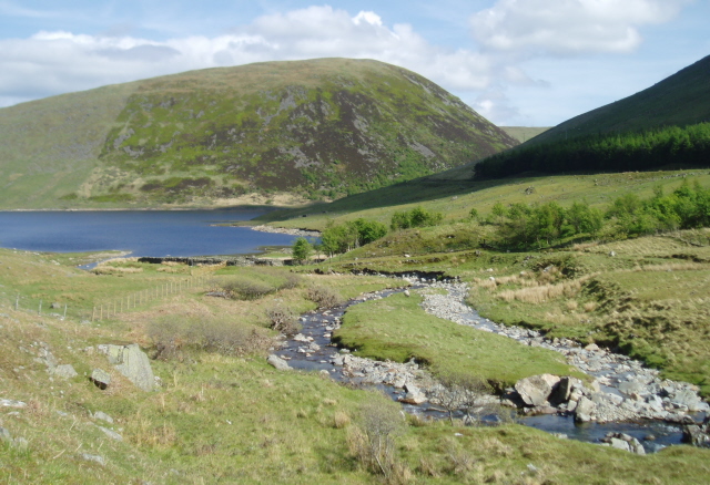
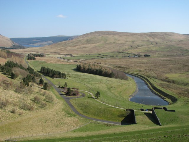
 This walk visits the expansive Megget Reservoir in the Scottish Borders. It's a beautiful and tranquil place, ideal for a peaceful walk in stunning surroundings.
You can start the walk from one of the car parks at the north eastern end of the site. Then pick up a country lane heading west along the water to the viewpoint and the Cramalt Tower. The tower was used by James V when he came to hunt deer in the area during the 16th century. The trail continues past Pykestone Brae and Clockmore Hill before coming to the western end near Craig Head.
Postcode
TD7 5LQ - Please note: Postcode may be approximate for some rural locationsMegget Reservoir Ordnance Survey Map  - view and print off detailed OS map
Megget Reservoir Open Street Map  - view and print off detailed map
Megget Reservoir OS Map  - Mobile GPS OS Map with Location tracking
Megget Reservoir Open Street Map  - Mobile GPS Map with Location tracking
Further Information and Other Local Ideas
Just to the east there's St Mary's Loch to visit. The loch is notable as the largest natural loch in the Scottish Borders.
Head west and there's Talla Reservoir, Fruid Reservoir and Camps Reservoir to explore. To the south west there's Daer Reservoir which is located on the epic Southern Upland Way long distance trail.
Head north west and there's the popular climb to Tinto Hill to try. Near here there's Lanark Moor Country Park where there's a nice circular walk around the pretty Lanark Loch to enjoy.
The Falls of Clyde Nature Reserve is also in Lanark. Here you can enjoy woodlands, waterfalls and a walk along the River Clyde. You can also pick up the Clyde Walkway here.
Head north to Peebles and you can pick up the Tweed Valley Railway Path and enjoy a walk or cycle along this multi user path.
Head south and you could visit the town of Moffat where you can enjoy a riverside walk along the River Annan on the Annadale Way. You can also pick up the epic Romans and Reivers Route in this area.


