GPS Cycle and Walking Routes

Dalgety Bay to Aberdour Coastal Path

4 miles (6.4 km)

This walk follows a popular section of the Fife Coastal Path from Dalgety Bay to Aberdour.
It's about a 4 mile walk along steadily rising trail which is also suitable for cyclists. The walk starts at Donibristle Bay in Dalgety Bay. From here you can follow the waymarked path north east along the Bay to the ruins of the ancient St Bridget's Church which dates back to the 12th century.
You then continue past Barnhill Bay to Aberdour where you can visit the historic castle.
To extend the walk pick up the Aberdour to Burntisland Coastal Path and enjoy fine views of the Forth of Leith and the city of Edinburgh. Near the western end of the route you can enjoy views of the Forth Road Bridge which spans the Firth of Forth. There is a walkway/cycleway running across the bridge if you would like to cross over to South Queensferry.

Dalgety Bay to Aberdour Coastal Path OS Map - Mobile GPS OS Map with Location tracking

Dalgety Bay to Aberdour Coastal Path Open Street Map - Mobile GPS Map with Location tracking

Cycle Routes and Walking Routes Nearby

Photos

New Harbour - Dalgety Bay - geograph.org.uk - 3653813

New Harbour - Dalgety Bay

St Bridget's Kirk - Dalgety Bay - geograph.org.uk - 3667442

St Bridget's Kirk

Donibristle Bay - geograph.org.uk - 2929386

Donibristle Bay

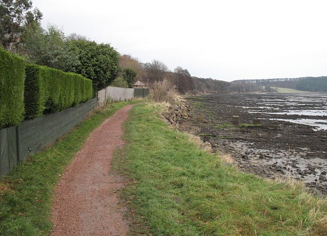
Fife Coastal Path - geograph.org.uk - 1078328

Fife Coastal Path. The usual bottom of the garden footpath. The path runs between houses and Dalgety Bay itself. Heading towards Crow Hill Wood.

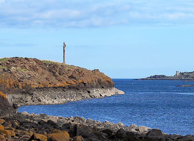
Downing Point - geograph.org.uk - 3623255

Downing Point

Aberdour castle - panoramio

Aberdour castle

Sandstone crags near Aberdour - geograph.org.uk - 3678670

Sandstone crags near Aberdour

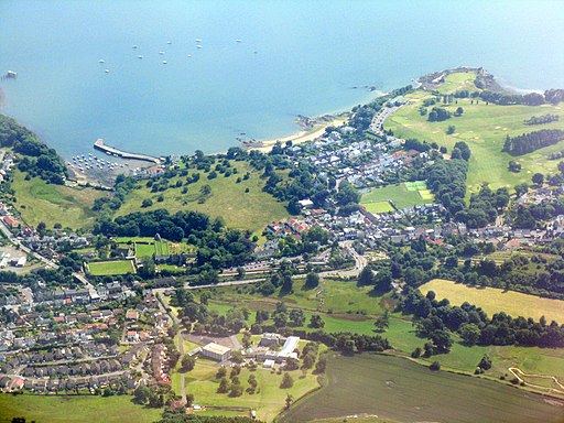
Aberdour, harbour and beach - geograph.org.uk - 3558427

Aberdour, harbour and beach

Video

GPS Files

GPX File

Dalgety Bay to Aberdour Coastal Path.gpx (On Desktop:Right Click>'Save As. On Ipad/Iphone:Click and hold>Share>Save to Files')