Darlington Walks
![]()
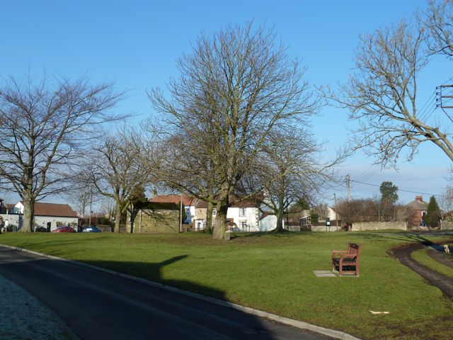
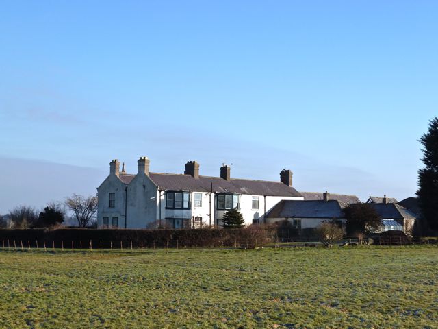
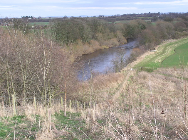
![]() The Teesdale Way runs through the large market town of Darlington in County Durham. You can explore part of the lovely Tees valley on this circular walk using the long distance waymarked trail. Starting at Blackwell at the south western corner of the town you can pick up the trail and follow the river south to Croft-on-Tees. The route passes Stapleton Manor and Monk End Wood on the western side of the river before coming to the village. You can then cross the river and follow the path back to Darlington on the eastern side of the water. This section runs through Oxneyfield and a golf course before returning to Blackwell. On this section there are nice views of the River Skerne which runs parallel to the Tees.
The Teesdale Way runs through the large market town of Darlington in County Durham. You can explore part of the lovely Tees valley on this circular walk using the long distance waymarked trail. Starting at Blackwell at the south western corner of the town you can pick up the trail and follow the river south to Croft-on-Tees. The route passes Stapleton Manor and Monk End Wood on the western side of the river before coming to the village. You can then cross the river and follow the path back to Darlington on the eastern side of the water. This section runs through Oxneyfield and a golf course before returning to Blackwell. On this section there are nice views of the River Skerne which runs parallel to the Tees.
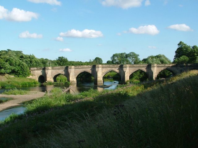
To extend your walking in the area you can also follow the Teesdale Way west to High Coniscliffe and Piercebridge where there is an interesting Roman Fort and bridge. Also of interest is the village of Staindrop and the historic Raby Castle where you will find 200 acres of deer park and gardens surrounding the 14th century castle.
Darlington Ordnance Survey Map  - view and print off detailed OS map
Darlington Open Street Map  - view and print off detailed map
Darlington OS Map  - Mobile GPS OS Map with Location tracking
Darlington Open Street Map  - Mobile GPS Map with Location tracking
Walks near Darlington
- Raby Castle - Enjoy a lovely walk through the 200 acres of deer park and gardens surrounding this 14th century castle near Darlington and Staindrop
- Teesdale Way - Follow the River Tees from Dufton, in Cumbria, to Redcar on the North Yorkshire coast
- Wynyard Woodland Park - Formerly known as the Castle Eden Walkway Country Park this park in Billingham has numerous woodland footpaths and a visitor centre.
- Piercebridge - This walk visits the interesting Piercebridge Roman Fort before following the Teesdale Way along the River Tees to nearby Gainford
- Staindrop - This village near Darlington has some nice country trails and a historic local castle to explore
- Crathorne Hall - This walk explores the grounds of the Edwardian Crathorne Hall near Yarm
- Hurworth on Tees - This riverside village is located just a few miles south of Darlington in County Durham
- Yarm - This small North Yorkshire town is nicely positioned for pleasant waterside walking along the River Tees
- Gainford - This Durham based village is located in a nice position on the River Tees just to the west of Piercebridge.
