Deddington Circular Walk
![]()
![]() A nice circular walk through the countryside surrounding the Oxfordshire village of Deddington. The route makes use of bridleways and footpaths to visit the village of Clifton and explore part of the Cherwell Valley. There's lovely rolling north Oxfordshire countryside and great views from the high points north of the village. Highlights on the route include old Paper Mill Cottages from the 18th century, the thatched 17th century pub in Clifton and views of the River Swere.
A nice circular walk through the countryside surrounding the Oxfordshire village of Deddington. The route makes use of bridleways and footpaths to visit the village of Clifton and explore part of the Cherwell Valley. There's lovely rolling north Oxfordshire countryside and great views from the high points north of the village. Highlights on the route include old Paper Mill Cottages from the 18th century, the thatched 17th century pub in Clifton and views of the River Swere.
If you would like to extend your walk then you could pick up the Oxford Canal Walk near Clifton. Following the towpath north will take you to Kings Sutton.
Also nearby is Stoke Wood which includes an impressive avenue of Corsican pines and a flowers including orchids and bluebells.
The village is located just to the south of Banbury where there are several good trails to try. The large village of Adderbury is also nearby. You could try our circular walk which visits the Sor Brook.
Postcode
OX15 0SP - Please note: Postcode may be approximate for some rural locationsDeddintgon Circular Walk Ordnance Survey Map  - view and print off detailed OS map
Deddintgon Circular Walk Open Street Map  - view and print off detailed map
Deddintgon Circular Walk OS Map  - Mobile GPS OS Map with Location tracking
Deddintgon Circular Walk Open Street Map  - Mobile GPS Map with Location tracking
Pubs/Cafes
The Crown and Tuns in Deddington is a good choice for some post walk refreshments. The 16th century pub is well known for its fine homemade pies. They also have a decking area to sit out in on warmer days. You can find the pub on New Street at postcode OX15 0SP.
On the route there's also The Duke at Clifton. The 17th Century Grade II listed pub is housed in a charming thatched building and has a good menu. You can find the pub in Clifton at postcode OX15 0PE.
Dog Walking
The country trails are great for a dog walk. The Duke of Clifton pub mentioned above is also dog friendly.
Further Information and Other Local Ideas
There's more pleasant local trails around the ancient Tusmore Park Estate. The estate dates back to the 14th century and includes woodland, streams, ponds and pleasant tree lined avenues. It can be found just to the north of the peaceful woodland trails in Stoke Wood.
Cycle Routes and Walking Routes Nearby
Photos
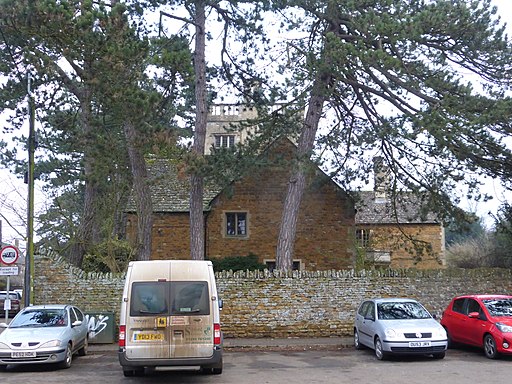
Part of Market Place, Deddington, Oxfordshire, seen from the southeast. The building on the left is the Town Hall.
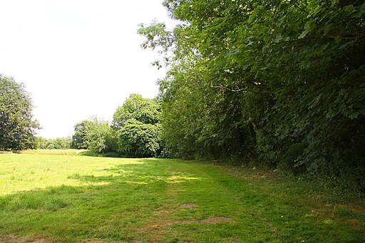
The site of Deddington Castle. All that remains of an 11th-century motte-and-bailey castle, with only the earth ramparts and mound now visible. It now serves as a park and nature walk and is located on the eastern side of the village. Deddington also includes a church dating to the 13th century.


