Dillington House
![]()
![]() This walk visits the 16th century Dillington House near Ilminster in Somerset.
This walk visits the 16th century Dillington House near Ilminster in Somerset.
The walk starts from the village of Whitelackington, just to the east of the hall. From here you can follow a shared cycling and walking trail west to reach the house. The house dates from the 16th century and is notable as the former home of Prime Minister Lord North. At the house you could enjoy a fine Sunday roast or a lovely afternoon tea before enjoying a stroll around the parkland and gardens. There's also some nice trails through the woodland where you can see bluebells in the spring months.
Postcode
TA19 9DT - Please note: Postcode may be approximate for some rural locationsPlease click here for more information
Dillington House Ordnance Survey Map  - view and print off detailed OS map
Dillington House Open Street Map  - view and print off detailed map
Dillington House OS Map  - Mobile GPS OS Map with Location tracking
Dillington House Open Street Map  - Mobile GPS Map with Location tracking
Dog Walking
The woodland and parkland on the estate are a nice place to bring your dog for a walk.
Further Information and Other Local Ideas
To continue your walking in the area you could visit the Iron Age Hillfort at Castle Neroche or enjoy a waterside walk around Chard Reservoir. For more walking ideas in the area see the Blackdown Hills Walks page.
Cycle Routes and Walking Routes Nearby
Photos
Dillington Park Lodge, Whitelackton, Somerset. Thatched 17th- and 18th-century house beside the former main road.
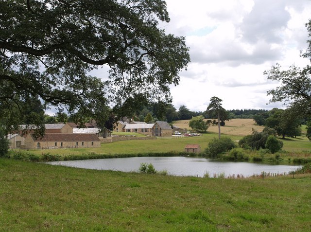
Fishing lake, Dillington, near to Whitelackington, Somerset. The small building at the water's edge is a pump house. Behind is the Eaglewood Park development, in which "derelict cattle pens and a silage pit have been transformed into quality, ecologically-sound offices". This is all on the east side of Dillington Park.
West Lodge, Dillington Park. This pretty early C19 octagonal cottage ornee is at Ashwell, where the western drive to Dillington House leaves the B3168 at a bend.
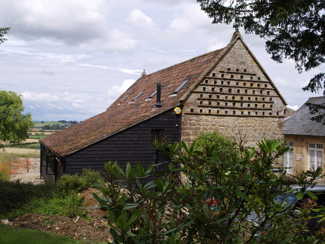
Dillington Park Farm. The farm lies in the landscape park of the house. A workshop among the buildings houses a firm of cabinet makers
The drive through the east side of Dillington Park is followed by National Cycle Route 33, and a public footpath to Whitelackington. The cattle grid marks the edge of the formal gardens surrounding the house.


