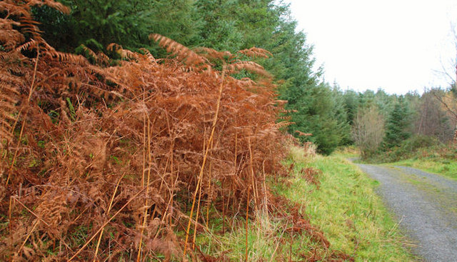
Drumkeeragh Forest Walks
 This expansive area of woodland is located near Ballynahinch on the slopes of Slieve Croob.
The mixed coniferous woodland includes mainly sitka spruce but with Norway spruce, western red cedar, European larch, Douglas fir and Corsican pines also present.
There's miles of peaceful woodland paths with views of Strangford Lough, Scrabo Tower, Antrim Hills and the Sperrins from the high points. You can start your walk from the car parking area on the western side of the woods.
To continue your walking in the area head west to climb to Slieve Croob where you can enjoy more fabulous views over the area. To the north east there's Ballynahinch and the splendid Montalto Estate to explore.
Postcode
BT25 2LB - Please note: Postcode may be approximate for some rural locationsDrumkeeragh Forest Open Street Map  - view and print off detailed map
Drumkeeragh Forest Open Street Map  - Mobile GPS Map with Location tracking
Further Information and Other Local Ideas
To the south there's Castlewellan Forest Park where you'll find miles of great trails around the lake and the national Arboretum of Northern Ireland.


