Castlewellan Forest Park Walks
![]() Enjoy a walk around Castlewellan Lake and Arboretum in County Down. The park contains the national Arboretum of Northern Ireland with a variety of interesting specimens from all over the world. There is also a peace maze and the the Scottish baronial Castlewellan castle. It's a lovely place, with views towards the Mourne Mountains and surrounding countryside to enjoy. The park is also great for mountain biking with green, blue and red grade trails to try.
Enjoy a walk around Castlewellan Lake and Arboretum in County Down. The park contains the national Arboretum of Northern Ireland with a variety of interesting specimens from all over the world. There is also a peace maze and the the Scottish baronial Castlewellan castle. It's a lovely place, with views towards the Mourne Mountains and surrounding countryside to enjoy. The park is also great for mountain biking with green, blue and red grade trails to try.
To extend your exercise, just head to the south and visit the lovely Tollymore Forest Park. The expansive 1600 acre park contains an arboretum, the Shimna River and two forested hills known as the Drinns. You can also pick up the popular Trassey Track which will take you to a spectacular mountain pass.
Also nearby is the splendid Murlough Bay National Nature Reserve where there is a beautiful sand dune system, woodland trails and a wonderful beach.
Postcode
BT31 9BU - Please note: Postcode may be approximate for some rural locationsCastlewellan Forest Park Open Street Map  - view and print off detailed map
Castlewellan Forest Park Open Street Map  - Mobile GPS Map with Location tracking
Dog Walking
The woodland trails are ideal for dog walking so you'll probably see other owners on your visit.
Further Information and Other Local Ideas
Head north and you could visit Drumkeeragh Forest near Ballynahinch. There's more fine woodland trails with the option of a climb to Slieve Croob where you can enjoy some wonderful views over the area. In Ballynahinch there's also the historic Montalto Estate. The estate includes an 18th century Georgian mansion surrounded by woodland, gardens and parkland.
Cycle Routes and Walking Routes Nearby
Photos
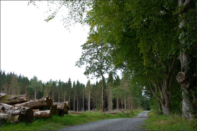
Most of the casual strollers and the power walkers take the path around the lake. For those who continue west there is the commercial forest and some steep paths.
Castlewellan Castle was built, in the Scottish baronial style, in 1856 for the Annesley family who owned the adjoining estate. It is now a conference centre.
Lake and path. Part of the northern shore of the lake lies within this square. The "black" waymarked path gives excellent views over the lake and surrounding countryside. Castlewellan Lake is on the left. The smaller Cypress Pond is at lower right. Part of the path, around the lake, can be seen to the left of the cleared forest middle/right.


