Duddon Valley Walk
![]()
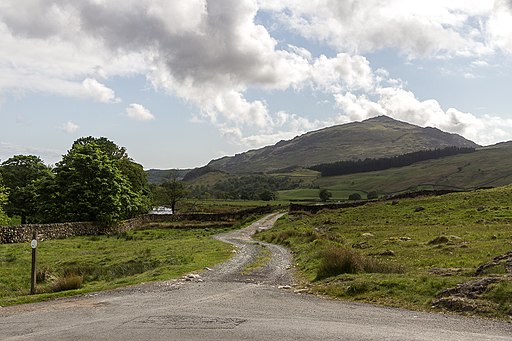
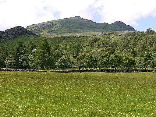
![]() This circular walk takes you along a nice section of the River Duddon in the Lake District National Park. You'll also visit Dunnderdale Forest and enjoy fine views of the surrounding fells. The route runs for just under 4 miles on a mixture of country lanes and footpaths. On the way there's also a small climb.
This circular walk takes you along a nice section of the River Duddon in the Lake District National Park. You'll also visit Dunnderdale Forest and enjoy fine views of the surrounding fells. The route runs for just under 4 miles on a mixture of country lanes and footpaths. On the way there's also a small climb.
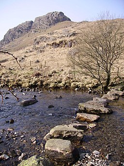
Start the walk from the public car park on the eastern side of Dunnerdale Forest, next to the river. From here you can pick up riverside trails along both sides of the water, crossing the river at Cockley Beck. This is a nice spot with an old stone bridge over the water. You'll also pass the picturesque stepping stones near Dale Head on this first section.
On the western side of the river you'll follow an Old Roman Road, passing Castle How before returning to the car park.
There's lots of other good walks to try in the Duddon Valley. You could head east and enjoy a climb to Dow Crag and Seathwaite Tarn.
Head west across the Hardknott Pass and you could visit the old Roman Fort at Hardknott Castle and climb to Harter Fell. Our climb to the fell starts from the same car park.
Duddon Valley Ordnance Survey Map  - view and print off detailed OS map
Duddon Valley Open Street Map  - view and print off detailed map
Duddon Valley OS Map  - Mobile GPS OS Map with Location tracking
Duddon Valley Open Street Map  - Mobile GPS Map with Location tracking
Pubs/Cafes
Just to the south of the forest you will find the noteworthy 16th century Newfield Inn in Seathwaite. The cosy interior includes a log burner to warm you up on colder days. Outside there's a nice garden area where you can watch the birds at the bird feeders and enjoy views of the surrounding fells. They do really nice food and have a good selection of Cumbrian beers. The pub is dog friendly and also provides accommodation if you need to stay over. You can find the pub at postcode LA20 6ED.
Further Information and Other Local Ideas
The Old Man of Coniston is located a couple of miles east of the river. You could climb to the prominent fell from the car park via Seathwaite Tarn. There's great views over the valley from here.
Cycle Routes and Walking Routes Nearby
Photos
Cockley Beck: the bridge. A stone bridge at the junction of the roads to Langdale, Ulpha and Boot, carrying the last of these over the River Duddon.


