Dulverton to Tarr Steps - River Barle Walk
![]()
![]() Follow the River Barle from Dulverton to the famous medieval bridge at Tarr Steps. The walk takes you along a section of the Exe Valley Way long distance footpath with river views and woodland trails along the way.
Follow the River Barle from Dulverton to the famous medieval bridge at Tarr Steps. The walk takes you along a section of the Exe Valley Way long distance footpath with river views and woodland trails along the way.
The walk starts in the small town of Dulverton, close to the border with Devon. It's a great base for exploring Exmoor and includes the Exmoor National Park Authority headquarters.
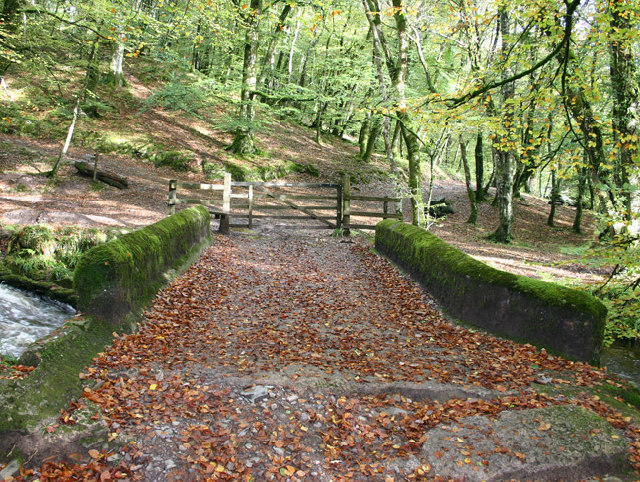
Head west from the town centre to Bridge Street where you cross the river on the Barle Bridge. The ancient bridge has 5 stone arches and dates from the middle ages.
Follow the riverside path north west, passing Burridge Wood and Northmoor Common before coming to Brewer's Castle Iron Age Hillfort. You continue through Hawkridge before branching off to the right and arriving Tarr Steps. The old clapper bridge is a Scheduled Ancient Monument, dating from the medieval period.
You can extend the walk by exploring the Tarr Steps Woodland National Nature Reserve which includes a wide range of interesting flora and fauna. The Two Moors Way runs along the river through the attractive woodland of the reserve.
You could also head to nearby Withypool and visit Landacre Bridge. The medieval bridge is another picturesque spot in the national park.
Dulverton to Tarr Steps Walk Ordnance Survey Map  - view and print off detailed OS map
Dulverton to Tarr Steps Walk Open Street Map  - view and print off detailed map
Dulverton to Tarr Steps Walk OS Map  - Mobile GPS OS Map with Location tracking
Dulverton to Tarr Steps Walk Open Street Map  - Mobile GPS Map with Location tracking
Pubs/Cafes
Tarr Steps Farm is a popular choice for walkers looking to refresh themselves after their exercise. The 16th-century riverside inn is located near Liscombe at postcode TA22 9PY. There's outdoor seating with lovely views and a great menu.
Dog Walking
The area is very popular with dog walkers so you will probably see a few others on your outing. Tarr Steps Farm pub is very dog friendly and a great place to relax after the walk.


