Elstead Walks
![]()
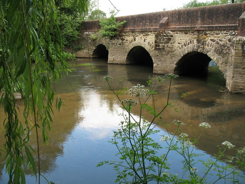
![]() This Surrey Hills based village is a great place for walkers with several expansive areas of common land within walking distance.
This Surrey Hills based village is a great place for walkers with several expansive areas of common land within walking distance.
This circular walk takes you south from the village to explore Elstead Common, Ockley Common and Thursley National Nature Reserve.
You'll then head to Hankley Common which lies just to the west of the settlement.
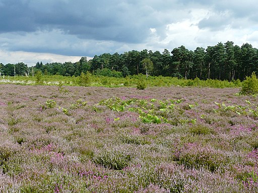
The walk starts in the village and heads south to Pot Common and Elstead Common where there's some nice woodland and heathland trails.
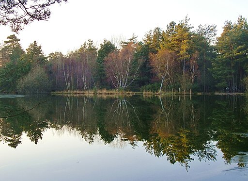
You continue through Ockley Common where you will find a number of pretty ponds on the eastern edge. Here you could also take a small detour to visit the adjacent Witley Common which is run by the National Trust.
The route then heads west across Thursley Common, a designated National Nature Reserve. It's one of England's premier wildlife spotting area with a huge vaiety of wildlife to see.
At Truxford Wood Farm you pick up the Greensand Way to take you across Hankley Common. You'll pass the golf course and Yagden Hill before returning to Elstead.
Elstead Ordnance Survey Map  - view and print off detailed OS map
Elstead Open Street Map  - view and print off detailed map
Elstead OS Map  - Mobile GPS OS Map with Location tracking
Elstead Open Street Map  - Mobile GPS Map with Location tracking
Walks near Elstead
- Thursley National Nature Reserve - This lovely nature reserve has miles of boardwalks and footpaths taking you to fine heathland, ponds, lakes and deciduous woodland
- Alice Holt Forest - Explore the peaceful Alice Holt Forest on this pleasant circular route in Farnham
- Frensham Ponds - This park is run by the National Trust and contains the lovely Frensham Ponds which attract a variety of rare birds such as the reed bunting, sedge warbler, great crested grebe, nightjars and woodlarks
- Devil's Punch Bowl - This circular walk in the Surrey Hills AONB takes you through Hindhead Common, up Gibbet Hill and to the Devil's Punch Bowl - a large natural amphitheatre and beauty spot
- Greensand Way - The Greensand Way runs from Haslemere in Surrey to Hamstreet in Kent following the ridge of greensand rock that crosses the two counties
- Hankley Common - Explore this large area of heathland and pine woodland on this walk near Elstead in Surrey
- Witley Common - This large area of common land in Surrey consists of heathland, ponds and birch, oak and pine woodland
- Tilford - This fine circular walk explores the area around the lovely Surrey village of Tilford
Pubs/Cafes
Back in the village the Woolpack is a fine place for some post exercise relaxation and refreshment. The historic 17th-century village pub includes a fine restaurant and a large grassy garden area if the sun is shining. You can find the pub just north of the car park at Milford Road, Elstead with a postcode of GU8 6HD for your sat navs.
Dog Walking
The woodland, heathland and common land trails are perfect for dog walking. The Woolpack mentioned above is also dog friendly.
Further Information and Other Local Ideas
For more walking ideas in the area see the Surrey Hills Walks page.


