GPS Cycle and Walking Routes

Fetteresso Forest Walks

5 miles (8.2 km)

This circular walk explores the Fetteresso Forest in Aberdeenshire.
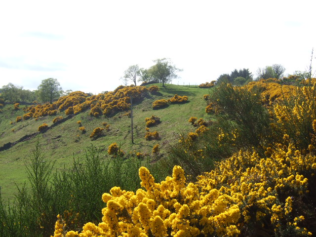
You'll follow peaceful woodland trails to Cowie Water and the attractive Haugh Head where there are some lovely countryside views. Look out for wildlife such as Deer, foxes and birds of prey as you make your way along the tranquil paths.
In addition to the walking trails the forest has miles of wide tracks suitable for mountain biking.
To the east there's also Maryculter Woods where you can enjoy some lovely views of the Crynoch Burn. To the north is Durris Forest and the climb to the viewpoint at Cairn-mon-earn.

Fetteresso Forest OS Map - Mobile GPS OS Map with Location tracking

Fetteresso Forest Open Street Map - Mobile GPS Map with Location tracking

Cycle Routes and Walking Routes Nearby

Photos

Fetteresso Forest - geograph.org.uk - 978123

Fetteresso Forest

Bridge at Haugh Head - geograph.org.uk - 810269

Bridge at Haugh Head

Access to Fetteresso Forest carpark - geograph.org.uk - 1382971

Access to Fetteresso Forest carpark

Bluff above Cowie Water - geograph.org.uk - 810275

Bluff above Cowie Water

Cowie Water Bridge - geograph.org.uk - 5157131

Cowie Water Bridge

Access to Haugh Head - geograph.org.uk - 810270

Access to Haugh Head

Clearfell looking across to the course of West Burn of Builg after confluence with Burn of Duglenny in Fetteresso Forest - geograph.org.uk - 1550916

Clearfell looking across to the course of West Burn of Builg after confluence with Burn of Duglenny in Fetteresso Forest

The Cowie Water, Fetteresso forest - geograph.org.uk - 2521636

The Cowie Water, Fetteresso forest

GPS Files

GPX File

Fetteresso Forest.gpx (On Desktop:Right Click>Save As. On Ipad/Iphone:Click and hold>Download Linked File)