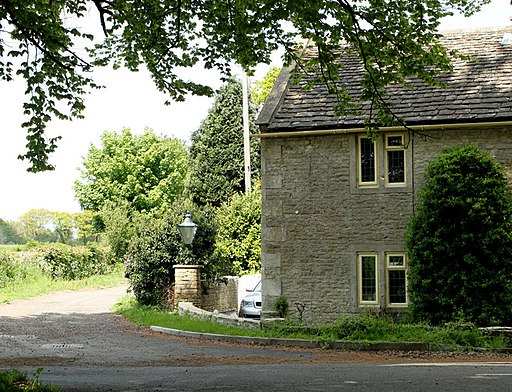
Fosse Way

 This walk takes you along a section of the Fosse Way in Somerset. You'll pass along the route of the ancient Roman Road while enjoying lovely views of the Somerset, Gloucestershire and Cotswolds AONB countryside.
The trail runs along fairly flat country lanes and bridle tracks so would also be suitable for cyclists looking for a traffic light, easy ride.
The walk starts off just to the north east of the village of Batheaston, near the city of Bath. From here you can enjoy a long, largely traffic free section of the road. Follow the track north and it will take you past Marshfield Wood and Easton Grey where you cross the River Avon. You'll then pass Long Newton before finishing at Kemble Airfield near the village of Culkerton. You could extend the walk here by picking up the Monarch's Way and following it towards nearby Tetbury.


