Frosterley Walks
![]()
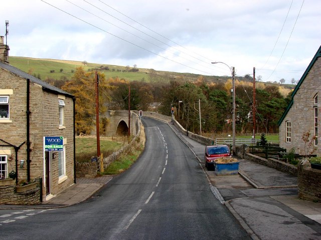
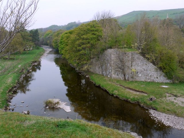
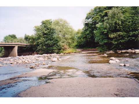
![]() This County Durham based village has lots of nice waterside trails along the River Wear and the Bollihope Burn which run through the area. It is also accessible on the heritage Weardale Railway, a popular tourist highlight of the local area.
This County Durham based village has lots of nice waterside trails along the River Wear and the Bollihope Burn which run through the area. It is also accessible on the heritage Weardale Railway, a popular tourist highlight of the local area.
This circular walk explores the area to the south of the village, visiting the Frosterley Quarries and the River Wear.
The walk starts in the village centre, following footpaths south to cross the river. You then head south west past the quarries to link up with the Weardale Way around Low Bishopley. Follow the waymarked trail east and it will take you past the waterfalls and caves around Wise Eel Bridge on the Bollihope Burn. The route then heads past Broadwood before linking up with the river path to take you back into Frosterley.
Frosterley Ordnance Survey Map  - view and print off detailed OS map
Frosterley Open Street Map  - view and print off detailed map
Frosterley OS Map  - Mobile GPS OS Map with Location tracking
Frosterley Open Street Map  - Mobile GPS Map with Location tracking
Pubs/Cafes
Back in the village head to The Frosterley Inn for some post walk refreshment. They serve good quality home cooked food and have a good selection of ales. You can find them on Front Street with a postcode of DL13 2RH for your sat navs.
Dog Walking
The trails around the village make for a fine dog walk and the inn mentioned above is also dog friendly.
Further Information and Other Local Ideas
If you follow the Weardale Way east it will take you to the neighbouring town of Wolsingham. Heading north west will take you into Stanhope.
Just to the south of the village there's some excellent walking paths and mountain bike trails in the expansive Hamsterley Forest.
To the north there's some waterside trails around the pretty Tunstall Reservoir.
For more walking ideas in the area see the North Pennines Walks page.


