Wolsingham Walk
![]()
![]() This walk takes you along the Weardale Way from Wolsingham to nearby Frosterley.
This walk takes you along the Weardale Way from Wolsingham to nearby Frosterley.
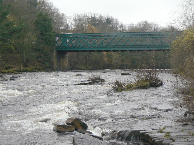
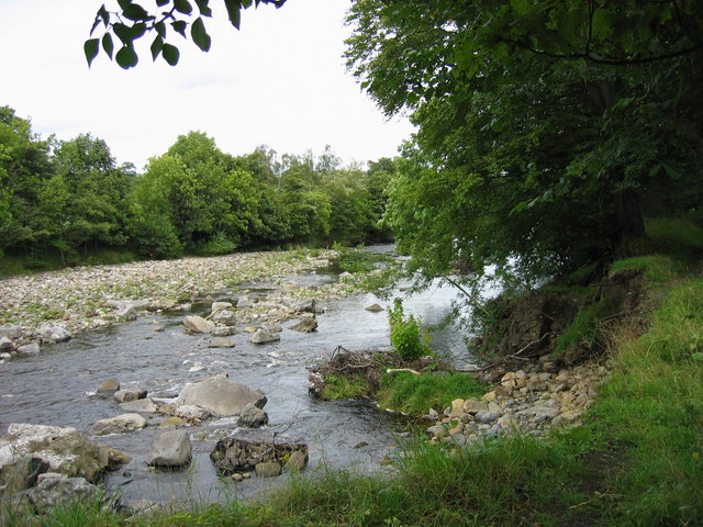
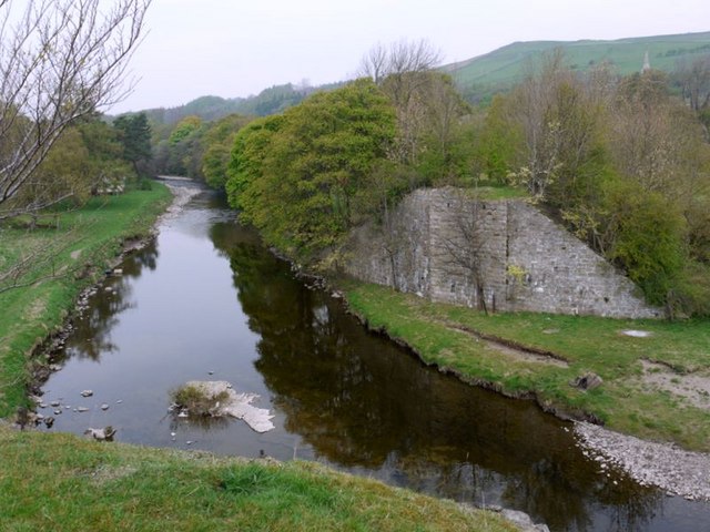
On the way there's nice views of the River Wear and the surrounding countryside.
The walk starts on Wolsingham Bridge where you can pick up the waymarked footpath and follow it west. It's just over 4 miles on a gradually ascending path. At White Kirkley you'll leave the Weardale Way and follow another public footpath north into Frosterley. This section passes waterfalls, ponds and a number of quarries. The walk could be extended by continuing along the waymarked path into Stanhope.
Tunstall Reservoir lies just to the north of the town. You could follow a public footpath heading north from the town along the Waskerley Beck. This will take you to the reservoir where there's a nice circular walk to follow around the water. The Waskerley Way also passes the reservoir. This waymarked cycling and walking trail follows the route of the old Stanhope and Tyne Railway line, visiting Waskerley Reservoir and Smiddy Shaw Reservoir.
Wolsingham Ordnance Survey Map  - view and print off detailed OS map
Wolsingham Open Street Map  - view and print off detailed map
Wolsingham OS Map  - Mobile GPS OS Map with Location tracking
Wolsingham Open Street Map  - Mobile GPS Map with Location tracking
Walks near Wolsingham
- Tunstall Reservoir - Follow the footpath around this pretty reservoir and nature reserve near Wolsingham in Country Durham.
- Weardale Way - Follow the River Wear from the coast at Sunderland to Killhope Lead Mining Museum in the Pennines
- Waskerley Way - This is a shared cycling and walking path that follows the route of the old Stanhope and Tyne Railway line
- Stanhope - This small market town is located in County Durham on the River Wear
- Pow Hill Country Park and Derwent Reservoir - This walk explores Pow Hill Country Park and the expansive Derwent Reservoir in County Durham
- Hamsterley Forest - Hamsterley Forest is a great place for exciting mountain bike trails, leisurely family cycle rides or peaceful woodland walking.
There are three colour coded, way-marked mountain bike trails in the forest - Frosterley - This County Durham based village has lots of nice waterside trails along the River Wear and the Bollihope Burn which run through the area
- Allensford Country Park - Enjoy riverside woodland walks and magnificent views of the Derwent Valley in this country park near Consett
- Smiddy Shaw Reservoir - This walk visits Smiddy Shaw Reservoir on Muggleswick Common near Consett in County Durham.
Pubs/Cafes
There's a number of good options in Wolsingham for refreshments . The Black Bull is located on the Market Place and does good food at reasonable prices. Outside there's a south facing garden area for finer days. They also have a few decent rooms if you need to stay over. You can find the inn at a postcode of DL13 3AB for your sat navs. The pub is also dog friendly if you have your canine friend with you.
Dog Walking
The river and country trails make for a fine dog walk. The Black Bull mentioned above is also dog friendly.
Further Information and Other Local Ideas
Take a ride on the splendid Weardale Railway and enjoy some lovely scenery on the historic heritage railway.
Just to the south of the village there's some excellent walking paths and mountain bike trails in the expansive Hamsterley Forest.
For more walking ideas in the area see the North Pennines Walks page.
Photos
Wolsingham Bridge. This was built in 1901 to replace the previous arched bridge, itself a replacement for a medieval bridge destroyed by floods in 1777. The town sits at the confluence of the River Wear and Waskerley Beck.


