Garstang Canal Walk
![]()
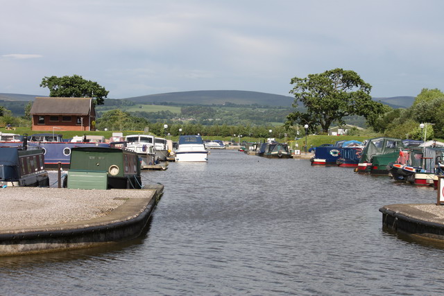
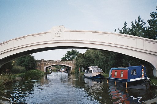
![]() A circular walk around the Lancashire town of Garstang, taking in the Lancaster Canal, Greenhalgh Castle and the River Wyre. It's a lovely area with waterside trails and great views towards the countryside and hills of the Forest of Bowland AONB.
A circular walk around the Lancashire town of Garstang, taking in the Lancaster Canal, Greenhalgh Castle and the River Wyre. It's a lovely area with waterside trails and great views towards the countryside and hills of the Forest of Bowland AONB.
Starting at the High Street car park in the centre of town head east to the River Wyre where you can follow a footpath south to the canal. Follow the canal east before picking up countryside trails towards the ruins of Greenhalgh Castle. Thomas Stanley, 1st Earl of Derby had the castle built in 1490 to provide defence for his estates around Garstang.
After passing the castle the route returns to the river where a short stroll takes you back to the car park.
There's several good options for extending your walking in the Garstang area. You could pick up the Forest of Bowland Walk and enjoy a long circular route around this stunning area.
Part of this route uses a section of the Wyre Way long distance trail.
Following the trail south will take you towards Churchtown and St Michael's on Wyre.
You could also continue along the Lancaster Canal towpath. Following it north will take you to Galgate, while following it south takes you towards Bilsborrow and Preston. At Bilsborrow you'll find the impressive Owd Nell's/Guy's Thatched Hamlet complex. The canalside 'village' includes a pub, restaurant, hotel and ice cream parlour.
Garstang Canal Walk Ordnance Survey Map  - view and print off detailed OS map
Garstang Canal Walk Open Street Map  - view and print off detailed map
Garstang Canal Walk OS Map  - Mobile GPS OS Map with Location tracking
Garstang Canal Walk Open Street Map  - Mobile GPS Map with Location tracking
Further Information and Other Local Ideas
Just to the south east of the town there's a bit of a hidden gem at Brock Bottom. Here you'll find a scenic picnic site next to the babbling River Brock. There's nice riverside trails and old mill ruins to see in this picturesque area. Near here there's also the popular Beacon Fell Country Park. The park includes, a visitor centre, woodland trails, ponds and viewpoints with fabulous views to the coast.
Also to the east is the delightful village of Calder Vale. It's a lovely place for a stroll with views of the River Calder, a village pond, bluebells woods, and the historic Lappet Mill, an old cotton weaving mill which is still in use.
For more walking ideas in the area see the Forest of Bowland Walks page.


