Calder Vale Walks

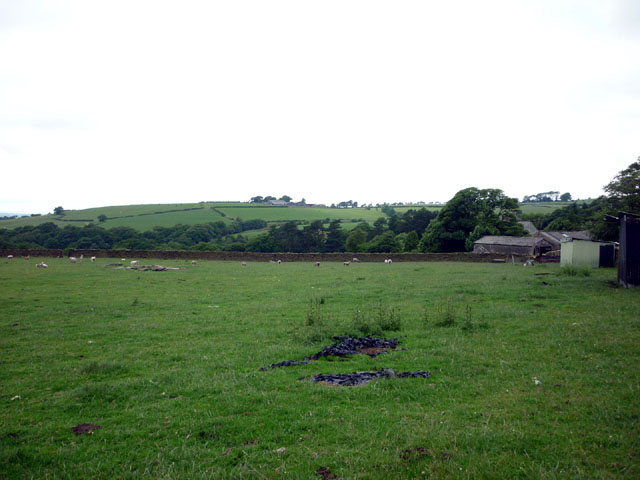
 This peaceful little village is located in a lovely spot on the edge of the Forest of Bowland AONB.
It's a picturesque place with pretty cottages, a pond and Lappet Mill, an old cotton weaving mill which is still in use.
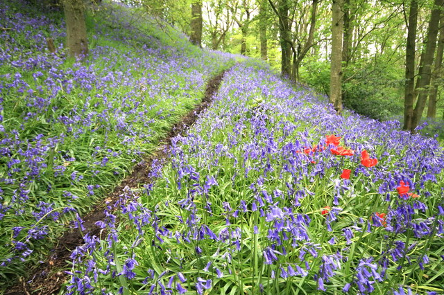
This little circular walk starts in the village car park and takes you north to the mill pond and the 19th century St John's Church. On the way there's bluebell woods, a mill pond weir and views of the River Calder which runs through the area.
There are also some pleasant footpaths through the countryside to the east of the settlement.
To continue your walking in the area head north to one of the local area highlights at Nicky Nook. It's a lovely place with fine views and several pretty reservoirs to enjoy.
Calder Vale Ordnance Survey Map  - view and print off detailed OS map
Calder Vale Open Street Map  - view and print off detailed map
Calder Vale OS Map  - Mobile GPS OS Map with Location tracking
Calder Vale Open Street Map  - Mobile GPS Map with Location tracking
Walks near Calder Vale
- Nicky Nook - This circular walk takes you up a popular and delightful fell in the Forest of Bowland
- Scorton - A circular walk around the Lancashire village of Scorton
- Wyre Way - Follow the course of the River Wyre from Fleetwood to Abbeystead Reservoir on this 45 mile waymarked walk in Lancashire.
- Garstang Canal Walk - A circular walk around the Lancashire town of Garstang, taking in the Lancaster Canal, Greenhalgh Castle and the River Wyre
- Parlick and Fair Snape Fell - This walk from Parlick Fell to Fair Snape Fell is considered one of the loveliest in the Forest of Bowland
- Beacon Fell Country Park - Explore 271 acres of woodland, moorland and farmland in the Forest of Bowland AONB
- Forest of Bowland Walk - A circular walk around the Forest of Bowland AONB in Lancashire
- Longridge Fell - Enjoy a walk to the summit of England's most southerley fell on this wonderful circular walk in the Forest of Bowland
- Dolphinholme - This pretty Lancashire village sits on the edge of the Forest of Bowland AONB
Further Information and Other Local Ideas
The Forest of Bowland Walk runs through the village. This long distance trail is a great way of exploring more of the AONB's walking highlights on a good waymarked path.
For more walking ideas in the area see the Forest of Bowland Walks page.


