Glen Clova
![]()
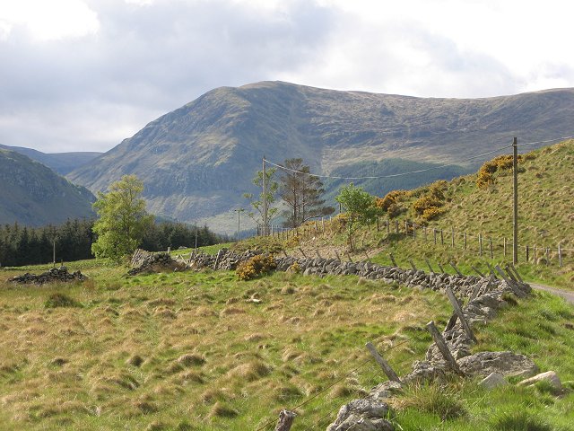
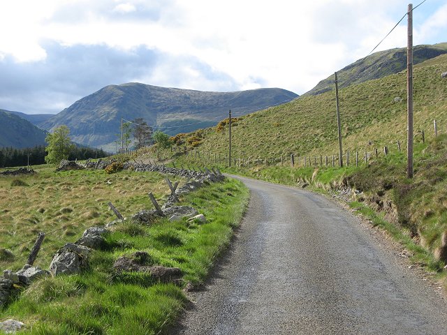
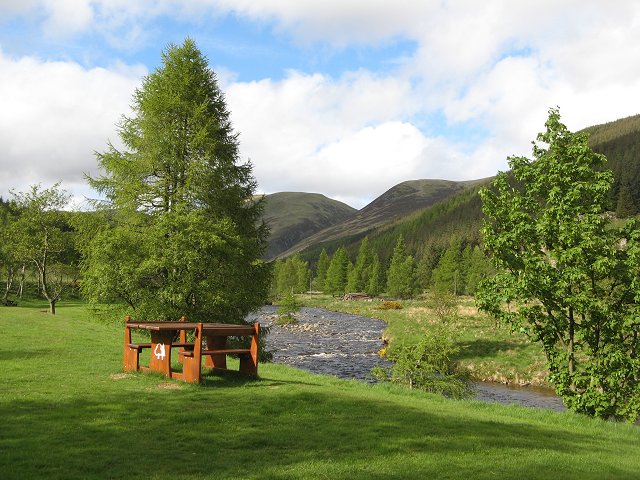
![]() Enjoy an easy walk through the beautiful Glen Clova, on the edge of the Cairngorms National Park. There's a nice country lane running through the Glen from the Hotel to Glen Doll, about 3 miles up the road. Along the way there are nice views of the River South Esk, which runs through the area. At Glen Doll there is a nice picnic area where you can relax before returning on the same path.
Enjoy an easy walk through the beautiful Glen Clova, on the edge of the Cairngorms National Park. There's a nice country lane running through the Glen from the Hotel to Glen Doll, about 3 miles up the road. Along the way there are nice views of the River South Esk, which runs through the area. At Glen Doll there is a nice picnic area where you can relax before returning on the same path.
The route finishes in the Corrie Fee Nature Reserve where there are miles of nice woodland trails through the Glendoll Forest. The area is rich with wildlife and also includes beautiful alpine flowers with rare mountain willows clinging to the steep crags of the bowl shaped valley. From here you can also pick up the Jocks Road long distance trail. The path runs for 13 miles from the reserve to Braemar, via Glen Callater, Loch Callater and Glen Doll.
The walk up to Loch Brandy also starts from the same car park. There's a well defined footpath running up to the pretty lake for about 1.5 miles.
A few miles to the north there are more nice waterside trails around Loch Muick and the challenging climb to Lochnagar.


