Great Hill Lancashire Walk

 This circular walk climbs to Great Hill near Blackburn in Lancashire.
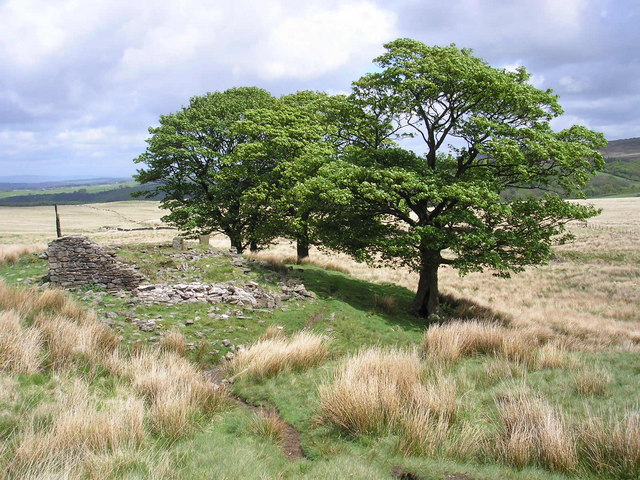
You can start the walk from the car park at the Tockholes Plantation just to the east of the hill. From here you can pick up footpaths heading south west up to the hill. The summit stands at a height of 383 metres, commanding fine views over the surrounding West Pennine Moors. On the way there are some surfaced stone paths, old stone walls and a ruined farmhouse to see in this remote moorland area.
To continue your walking in the area head a few miles south to Rivington Country Park where you can enjoy the popular climbs to Rivington Pike and Winter Hill.
The car park could also be used as a starting point to climb Darwen Tower which lies just to the north east.
The hill can also be climbed from Brinscall to the north west. See the video below for more details.
other hill walk county - done kent, devon, hamp, corn, lancs, dorset.
Great Hill Ordnance Survey Map  - view and print off detailed OS map
Great Hill Open Street Map  - view and print off detailed map
Great Hill OS Map  - Mobile GPS OS Map with Location tracking
Great Hill Open Street Map  - Mobile GPS Map with Location tracking
Cycle Routes and Walking Routes Nearby
Photos
Pimms. Ruins of an abandoned farmhouse on the slopes of Great Hill. The trees probably got established before the walls disappeared. The rest of the moor is treeless.


