Grewelthorpe Walks

 This circular walk around Grewelthorpe uses the Ripon Rowel long distance trail to visit Hackfall Woods and the River Ure. The route runs for a distance of about 4 miles using a mixture of public footpaths and country lanes.
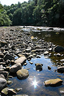
You start the walk in the village and follow footpaths north east towards the river and the woods. Here you pick up the waymarked Ripon Rowel and follow it west into Hackfall Woods. The woods are a popular place with grottos, old temples, follies, waterfalls and riverside paths along the River Ure. You'll then climb to Limehouse Hill where there are splendid views of Masham Church, The Ruin and Mowbray Castle which was famously painted by Turner.
After descending the hill the route follows more woodland paths back into Grewelthorpe.
Grewelthorpe Ordnance Survey Map  - view and print off detailed OS map
Grewelthorpe Open Street Map  - view and print off detailed map
Grewelthorpe OS Map  - Mobile GPS OS Map with Location tracking
Grewelthorpe Open Street Map  - Mobile GPS Map with Location tracking
Walks near Grewelthorpe
- Ripon Rowel - This is a circular walk around the Yorkshire city of Ripon, visiting South Stainley, Markington and Masham
- Hackfall Woods - These peaceful woods near Grewelthorpe have miles of nice walking trails to try
- West Tanfield - This attractive North Yorkshire village has some lovely riverside paths, a popular long distance trail and a delightful local woodland park to explore.
- Aislabie Walk - This walk follows a circuit that connected the estates and gardens of the Aislabie family in the 18th century
- Kirkby Malzeard - This North Yorkshire based village is located in the Harrogate district just south of Grewelthorpe.
- Studley Park and Fountains Abbey - This marvellous attraction boasts 800 acres of beautiful parkland set in the Yorkshire countryside
- Newby Hall - This 18th century hall near Ripon has extensive grounds with views over the River Ure, herbaceous borders and woodland walks
- Ripon Canal - Enjoy a short, waterside stroll along the Ripon Canal, on this easy walk in North Yorkshire
- Masham Leaves Walk - A circular walk around the North Yorkshire town of Masham, visiting a series of stone sculptures.
Pubs/Cafes
Head to The Crown Inn in Grewelthorpe for some refreshments after your walk. The country pub is a popular draw for walkers coming from the woods. It has a good menu, a beer garden for fine days and is also very dog friendly. You can find it just to the south of the woods on Main Street in the pretty little village. Postcode is HG43BS for your sat navs.
Further Information and Other Local Ideas
One nice idea is to continue along the Ripon Rowel north into Masham. Here you'll find nice trails along the River Burn, the circular Masham Leaves Sculpture Walk and the splendid Swinton Estate with its deer park and expansive parkland.
Just to the east you can visit the neighbouring village of West Tanfield. Here you'll find the 15th century Marmion Tower, a fine 17th century riverside pub and the lovely Nosterfield Nature Reserve.
Photos
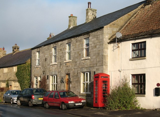
Former Hackfall Inn, Grewelthorpe. This was the Hackfall Inn at the north end of the main village street until 1994. Now converted into a house.
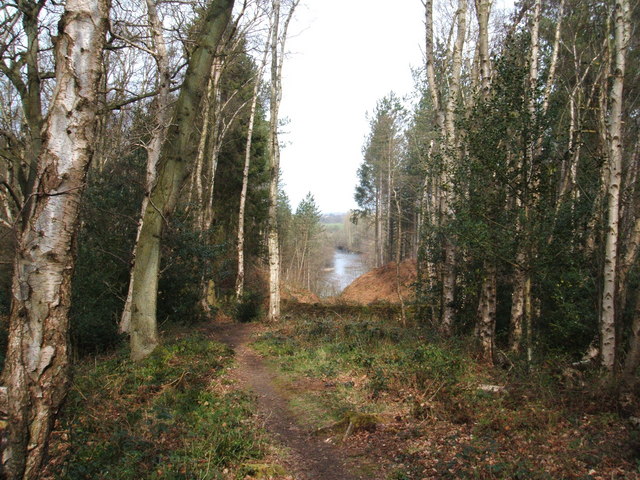
View from Limehouse Hill. The River Ure flows round this point; Masham Church can be seen in the distance


