Greys Court

 This walk explores the area around the National Trust's Greys Court in Henley-on-Thames, Oxfordshire.
The estate surrounds a 16th century mansion and is a lovely place for a stroll with peaceful woodland trails, beautiful gardens, a turf maze, a photogenic Chinese Bridge and a 19th century ice house to see. Other notable highlights include the Great Tower from the 14th century and a rare Tudor donkey wheel, in use until the early 20th century.
The walk starts from the car park at the site and heads east towards Park Cottage before turning west to Earl's Wood. The route then loops round to Shepherd's Green before following more woodland trails back to the car park. It's a fairly gentle walk with a small climb on the way.
Postcode
RG9 4PG - Please note: Postcode may be approximate for some rural locationsPlease click here for more information
Greys Court Ordnance Survey Map  - view and print off detailed OS map
Greys Court Open Street Map  - view and print off detailed map
Greys Court OS Map  - Mobile GPS OS Map with Location tracking
Greys Court Open Street Map  - Mobile GPS Map with Location tracking
Pubs/Cafes
The on site cowshed tearoom is a nice place to relax with some refreshments after your walk. There's a good range of meals and snacks with seating indoors and out.
Dog Walking
The woodland and parkland paths are ideal for a dog walk so you'll probably see other owners on a fine day. You are asked to please keep them on leads because of farm animals in the area. Dogs are not allowed at all in the walled gardens area though. The tea room mentioned above is also dog friendly.
Further Information and Other Local Ideas
The Henley via Stonor Circular Walk starts from the nearby town and visits Greys Court and the deer park at Stonor Park. It's a nice way to further your stretch your legs in this lovely area.
The circular Nettlebed Walk visits the site from the nearby village. It also explores the Warburg Nature Reserve, located just a few miles north east of Greys Court. The reserve is an excellent place for seeing local flora and fauna including carpets of bluebells in the spring months.
Just to the west is the worthy village of Stoke Row where there are some interesting historical features. The village includes the distinctive Maharajah's Well, a pretty cherry orchard and a noteworthy 17th century pub reputed to be the former haunt of notorious highwayman Dick Turpin. Near here there's also Ipsden where you can explore the trails on Ipsden Heath and visit the 12th century Norman church.
For more walking ideas in the area see the Chilterns Walks page.
Cycle Routes and Walking Routes Nearby
Photos
Greys Court maze. Turf maze around the armillary sphere sundial in one of the gardens of Greys Court
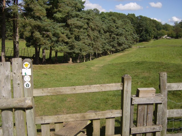
Leaving Greys Court. The footpath through Greys Court (National Trust) heads north-eastwards. There is a National Trust walk through the outer parts of the estate, and it is also on the Chiltern Way extension.


