Greystoke Forest
![]()
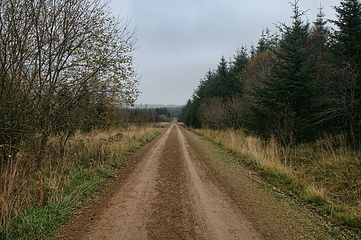
![]() This large area of woodland near Penrith has miles of cycling and walking trails to try. The expansive area is popular with mountain bikers with several good climbs and descents to enjoy.
This large area of woodland near Penrith has miles of cycling and walking trails to try. The expansive area is popular with mountain bikers with several good climbs and descents to enjoy.
The route starts from the north western end of the forest at Millfield Lodge near Hutton Roof. You can pick up the trails and head towards Tippy Hills and the high point near Bernard's Wood. The forest includes the pretty Gilcambon Beck and lots of wildlife to look out for too. Keep your eyes peeled for deer and owls as you make your way through the forest.
The woods are located on the edge of the Lake District National Park. Heading west will take you into the park where you can pick up the Cumbria Way long distance trail and explore the Caldbeck Fells.
Just to the south east you will find the town of Penrith where you can explore the medieval castle and enjoy a climb to Penrith Beacon.
Postcode
CA11 0XX - Please note: Postcode may be approximate for some rural locationsGreystoke Forest Ordnance Survey Map  - view and print off detailed OS map
Greystoke Forest Open Street Map  - view and print off detailed map
Greystoke Forest OS Map  - Mobile GPS OS Map with Location tracking
Greystoke Forest Open Street Map  - Mobile GPS Map with Location tracking
Dog Walking
The expansive woodland trails make for a fine dog walk.
Further Information and Other Local Ideas
On the southern fringes of the forest there's the Eycott Hill Nature Reserve to explore. There's some interesting rare plants, a wonderful volcanic landscape and glorious views over the area from the hill top here.
Head further south and you can enjoy a climb to Great Mell Fell and Gowbarrow Fell where there are fine views over the area.
To the east you'll find one of the area's top attractions at Hutton in the Forest. The 17th century country house is surrounded by some beautiful landscaped gardens with herbaceous plants, ponds with cascades and some fine topiary.
For more walking ideas in the area see the Cumbria Walks page.
Cycle Routes and Walking Routes Nearby
Photos
An Entrance to Greystoke Woods. Not a footpath route but the sign helpfully gives a 6 figure map reference.


