Great Mell Fell Walk
![]()
![]() This walk climbs to Great Mell Fell in the Lake District National Park.
This walk climbs to Great Mell Fell in the Lake District National Park.
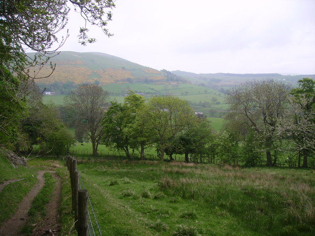
The fell is located just west of Ullswater and stands at a height of 537 metres. It is owned by the National Trust and commands fine views over the surrounding fells. The fell also includes pleasant woodland areas where you can look out for wildlife including roe deer and green woodpeckers.
You can start the walk at the roadside parking area next to Brownrigg Farm. Then follow footpaths north west through the woodland to the hill top, passing Routing Gill on the way.
You can extend the walk by heading east to visit Little Mell Fell and south to Gowbarrow Fell as shown in the video below.
Postcode
CA11 0LF - Please note: Postcode may be approximate for some rural locationsGreat Mell Fell Ordnance Survey Map  - view and print off detailed OS map
Great Mell Fell Open Street Map  - view and print off detailed map
Great Mell Fell OS Map  - Mobile GPS OS Map with Location tracking
Great Mell Fell Open Street Map  - Mobile GPS Map with Location tracking
Pubs/Cafes
The Troutbeck Inn is located just to the north west of the fell. They serve good quality locally sourced meals and have a garden area. You can find them at postcode CA11 0SJ. The pub is dog friendly.
Further Information and Other Local Ideas
Head south from the fell and you can visit one of the highlights of the area at the splendid Aira Force Waterfall.
Just to the north there's the Eycott Hill Nature Reserve. There's some interesting rare plants, a wonderful volcanic landscape and glorious views over the area from the hill top here.
For more walking ideas in the area see the Lake District Walks page.
Cycle Routes and Walking Routes Nearby
Photos
View from Binks Moss looking across rough pasture towards Racy Cottage at the foot of Great Mell Fell.
The summit cairn of Great Mell Fell. Saddleback also known as Blencathra is the mountain just right of centre. The summit is crowned by a low mound, marked as a tumulus. This is probably a small Bronze Age burial mound. A small cairn has been built on top of it, but was not there in the 1950s, when a dead tree trunk marked the spot. The isolated position of the fell makes it a splendid viewpoint. Blencathra and the Dodds dominate the view towards the west, while to the south is an impressive vista of both the Far Eastern and the Eastern Fells, as far as Red Screes and the Kirkstone Pass. To the east, beyond Little Mell Fell there is a clear view across the Eden Valley to the north Pennines.
The lakeland outlier, Great Mell Fell viewed from the A509 to the north of Rushmire. The hill is triangular in plan (indeed, it is almost the shape of a broad arrow-head) with the apex pointing west, down the steep "nose" of the fell, and with the gentler, broader eastern slopes divided by two shallow valleys which drain into the Wham Sike and Routing Gill Beck.
Routing Gill Beck. The sheltered lower eastern slopes are well covered by mixed woods of oak, rowan, birch, holly and Scots pine. Look out for wildlife including badgers, roe deer and green woodpeckers.


