Hafren Forest Walks and Mtb
![]()
![]() This large woodland area near Llanidloes has miles of walking paths and mountain bike trails to try. In the forest you will find the source of the River Severn, pretty waterfalls and a wide variety of wildlife. Look out for ospreys, buzzards, goshawks and red kites on your way through the woods.
This large woodland area near Llanidloes has miles of walking paths and mountain bike trails to try. In the forest you will find the source of the River Severn, pretty waterfalls and a wide variety of wildlife. Look out for ospreys, buzzards, goshawks and red kites on your way through the woods.
You can start your exercise from the Hafren Forest car park. Here you'll find an information point, toilets and a picnic area. It's located near the centre of the forest and gives direct access to the trails.
The long distance Severn Way passes through the forest so you can pick this up to extend your walk. If you head north west along the path through the woods you will come to the start of the trail at the Source of the River Severn on the slopes of Plynlimon. If you follow the trail south east it will take you into Llanidloes.
You could also head east and visit the nearby Llyn Clywedog. The large lake has nice cycling and walking trails including the long distance Glyndwr's Way which runs along the western side of the water. The lake can be found on the eastern fringe of the forest.
Postcode
SY18 6PT - Please note: Postcode may be approximate for some rural locationsPlease click here for more information
Hafren Forest Ordnance Survey Map  - view and print off detailed OS map
Hafren Forest Open Street Map  - view and print off detailed map
Hafren Forest OS Map  - Mobile GPS OS Map with Location tracking
Hafren Forest Open Street Map  - Mobile GPS Map with Location tracking
Pubs/Cafes
In Llanidloes one of the highlights is the historic Angel Inn. The Timber framed former Coaching Inn was built way back in 1748. The Pub has a wealth of character with many original features including Oak beams in the Bar and Lounge. There's a very good menu and some picnic tables outdoors for warmer days. It is located close to the center of Llanidloes on the High Street with a postcode of SY18 6BY for your sat navs.
Dog Walking
The forest is a great place for a dog walk with miles of trails for you and your canine friend to try. On a fine day you will probably see plenty of other owners out and about. The Angel Inn mentiond above is also dog friendly.
Cycle Routes and Walking Routes Nearby
Photos
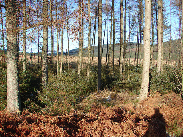
A view from one of the highest areas of the forest towards Cwmbiga and beyond. The growth in the foreground will obscure this view in a few years time.
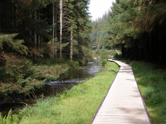
Forest Walk, Hafren Forest. One of a number of forest walks in Hafren Forest. On the left is the infant river Severn. At about three miles from its source already it is quite wide. At the time light rain was falling and a rainbow can be seen.


