High Rid Reservoir
![]()
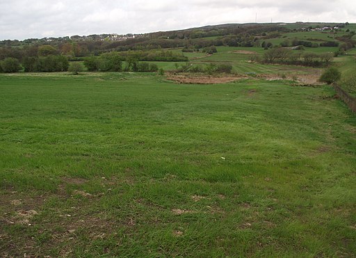
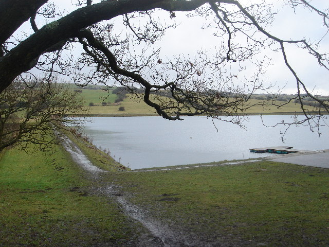
![]() This small reservoir in Bolton is a nice place for an easy walk.
This small reservoir in Bolton is a nice place for an easy walk.
There's a circular footpath running around the lake for a distance of about 1 mile. On the way there's some lovely views over the water to the surrounding countryside. Also look out for wildlife including deer, fox, buzzard, velvet scoter and goldeneye.
Postcode
BL6 4LH - Please note: Postcode may be approximate for some rural locationsHigh Rid Reservoir Ordnance Survey Map  - view and print off detailed OS map
High Rid Reservoir Open Street Map  - view and print off detailed map
High Rid Reservoir OS Map  - Mobile GPS OS Map with Location tracking
High Rid Reservoir Open Street Map  - Mobile GPS Map with Location tracking
Dog Walking
The reservoir is a popular place for dog walkers so you'll probably see other owners on a fine day.
Further Information and Other Local Ideas
In Bolton there's Smithills Country Park and Doffcocker Lodge to explore.
Head west and you can continue your waterside walking around the much larger Rivington Reservoir in Rivington Country Park. The climb to Rivington Pike can also be started here.
For more walking ideas in the area see the Bolton Walks and Greater Manchester Walks pages.

