Hurstwood Reservoir
![]()
![]() This circular walk takes you around Hurstwood Reservoir in Burnley.
This circular walk takes you around Hurstwood Reservoir in Burnley.
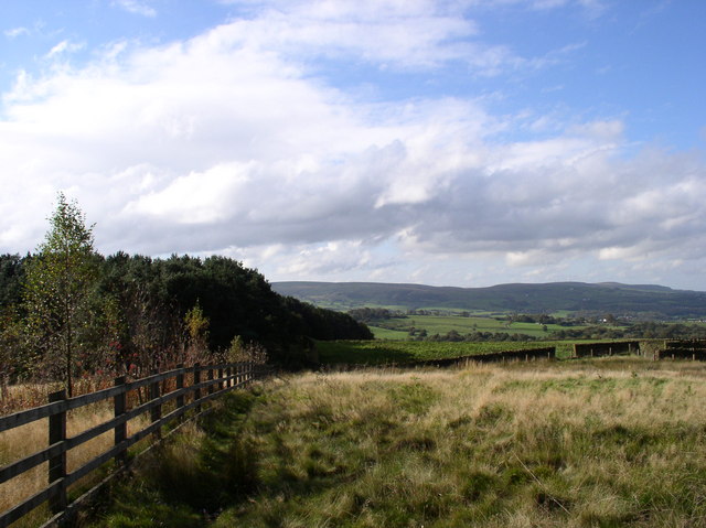
Start the walk from the public car park in the village of Hurstwood just to the west of the reservoir. It's located just over 2 miles south east from Burnley town centre. From here you can pick up footpaths heading around the water for a distance of just under 2 miles. It's a peaceful spot with lovely views over the water to the surrounding Pennine Moors and hills.
The Burnley Way passes the reservoir so there is good scope for extending the walk on this waymarked footpath. If you follow it east you could visit the nearby Gorple Reservoir and Widdop Reservoir for example.
Postcode
BB10 3LF - Please note: Postcode may be approximate for some rural locationsHurstwood Reservoir Ordnance Survey Map  - view and print off detailed OS map
Hurstwood Reservoir Open Street Map  - view and print off detailed map
Hurstwood Reservoir OS Map  - Mobile GPS OS Map with Location tracking
Hurstwood Reservoir Open Street Map  - Mobile GPS Map with Location tracking
Pubs/Cafes
Just to the south west of the hamlet you can pay a visit to The Kettledrum Inn at Mereclough. The friendly village pub has a good menu and fine selection of ales. It's in a lovely spot with views over the surrounding Pennine Moors from the outdoor seating area. The pub also has an interesting history being named after a thoroughbred horse which won the Epsom Derby in 1861. You can find the inn at 302 Red Lees Road with a postcode of BB10 4RG for your sat navs.
Dog Walking
The reservoir and surrounding moorland are ideal for dog walking so you'll probably see other dogs on a fine day. The Kettledrum Inn mentioned above is also dog friendly.
Further Information and Other Local Ideas
After exploring the reservoir you could enjoy a stroll around the pretty hamlet of Hurstwood. There's rows of cottages, an old church and the 16th century Hurstwood Hall to see here. The hall, the Great Barn next to it, and Spenser House are Grade II* listed buildings and believed to have been constructed in late 16th century. Scenes from the 1996 BBC adaptation of The Tenant of Wildfell Hall were filmed at Spenser House and Hurstwood Hall.
To further continue your walking then simply pick up the Pennine Bridleway which runs right past the reservoir. If you follow it south you can visit Cant Clough Reservoir and Worsthorne Moor. Cant Clough tends to have less visitors so is a nice spot for a quieter walk.
For more walking ideas in the area see the South Pennines Walks page.
Cycle Routes and Walking Routes Nearby
Photos
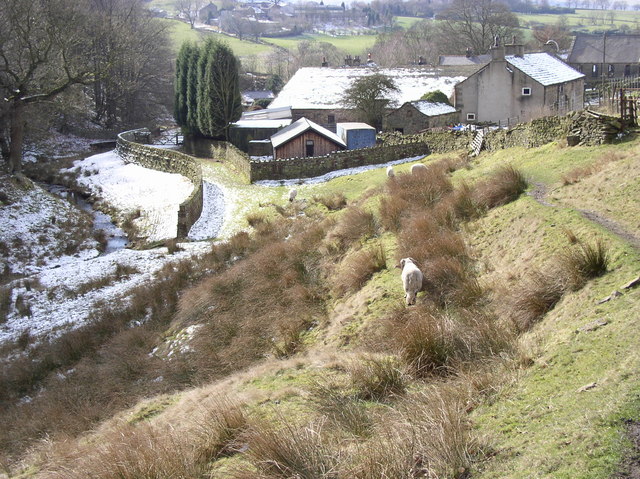
Hurstwood Brook. Moorfell Farm and Moorfell Cottage Hurstwood Brook to the left. The picturesque brook runs from the village towards the reservoir. The River Brun is usually said to begin at the confluence of Hurstwood Brook and Rock Water at the edge of the hamlet.


