Inn at Whitewell Walks
![]()
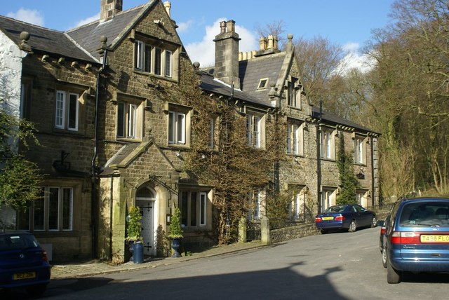
![]() Explore the Forest of Bowland AONB from the Inn at Whitewell on this lovely circular walk. The splendid inn is in a wonderful location next to the River Hodder near the Lancashire town of Clitheroe. It's a great place to stay for walkers with a number of fine footpaths to follow into the surrounding countryside.
Explore the Forest of Bowland AONB from the Inn at Whitewell on this lovely circular walk. The splendid inn is in a wonderful location next to the River Hodder near the Lancashire town of Clitheroe. It's a great place to stay for walkers with a number of fine footpaths to follow into the surrounding countryside.
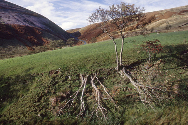
Starting at the inn you head north toward the noteworthy Dunsop Bridge. The pretty village lies very close to the geographic centre of Great Britain at the confluence of the River Dunsop and the River Hodder. From the village you can pick up a trail heading north along the River Dunsop, with woodland on either side. The path then bends round past Whin Fell to Brennand Farm where you head south through the wonderful Trough of Bowland. The 'Trough' is a particularly scenic area of the AONB with its gorgeous valleys, moorland and wooded areas.
Follow the trails south through the scenic area to Sykes Farm where you pick up another waterside trail along the Langdon Brook. This will lead you back to Dunsop Bridge where you can follow the road back to the Inn at Whitewell.
To continue your riverside walking from the Inn you could pick up the Hodder Way long distance trail. You can follow the trail to the lovely Stocks Reservoir which is another highlight of the area.
Also nearby is the climb to Parlick and Fair Snape Fell where you can enjoy some wonderful views over the area.
Postcode
BB7 3AT - Please note: Postcode may be approximate for some rural locationsInn at Whitewell Ordnance Survey Map  - view and print off detailed OS map
Inn at Whitewell Open Street Map  - view and print off detailed map
Inn at Whitewell OS Map  - Mobile GPS OS Map with Location tracking
Inn at Whitewell Open Street Map  - Mobile GPS Map with Location tracking
Further Information and Other Local Ideas
If you have some time pay a visit to the nearby Bowland Wild Boar Park. The park is a highglight of the area with animal feeding, tractor rides, plays areas and a cafe. There's also some nice riverside walks along the River Hodder here too.
There's lots of different animals in the park including Red Deer, Peacock, Ostriches, Emu and of course Wild Boar. You can explore the site on 7 different waymarked nature trails. It's a lovely place for a stroll with bluebell woods, sculptures and plenty of wildlife to look out for on the way.
The park is located in the heart of the Trough of Bowland situated about 2 miles from the picturesque village of Chipping, on the Chipping to Dunsop Bridge road. They are signposted clearly from Chipping and have a postcode of PR3 2QT for your sat navs.


Above: Views of the park with the River Hodder and a wooden sculpture on the right.


