GPS Cycle and Walking Routes

Inversnaid and Crianlarich to Tyndrum Walk

17 miles (27.6 km)

This route follows the West Highland Way from Inversnaid to Tyndrum via Crianlarich and Glen Falloch.
It's just over 17 miles, following the waymarked trail from the hotel at Inversnaid to Tyndrum. You'll start with a waterside section along Loch Lomond before coming to Inverarnan. The route then follows the River Falloch through Glen Falloch where you can enjoy a visit to the picturesque Falls of Falloch.
The final section runs from Crianlarich to Tyndrum, passing through woodland and crossing the River Fillan on the way.
You can continue your walking on the next section of the trail on the Tyndrum to Bridge of Orchy Walk. For the previous section see the Rowardennan to Inversnaid Walk page.

Inversnaid to Tyndrum OS Map - Mobile GPS OS Map with Location tracking

Inversnaid to Tyndrum Open Street Map - Mobile GPS Map with Location tracking

Photos

The harbour at Inversnaid - geograph.org.uk - 4043254

The harbour at Inversnaid

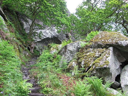
Steep rocky section near to Rob Roy’s Cave - geograph.org.uk - 4072940

Steep rocky section near to Rob Roy’s Cave

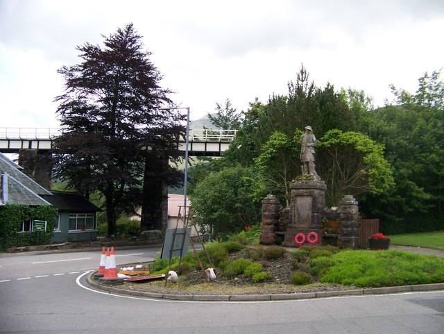
War memorial and railway bridge at Crianlarich - geograph.org.uk - 3065965

War memorial and railway bridge at Crianlarich

West Highland Way North of Dubh Lochan - geograph.org.uk - 4002787

West Highland Way North of Dubh Lochan

West Highland Way in Glen Falloch (4) - geograph.org.uk - 4003223

West Highland Way in Glen Falloch

River Falloch below the Falls of Falloch - geograph.org.uk - 2376666

River Falloch below the Falls of Falloch

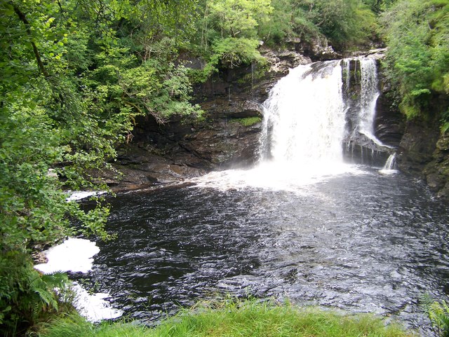
Falls of Falloch - geograph.org.uk - 3065954

Falls of Falloch

Tyndrum

Tyndrum

Video

GPS Files

GPX File

Inversnaid to Tyndrum.gpx (On Desktop:Right Click>'Save As. On Ipad/Iphone:Click and hold>Share>Save to Files')