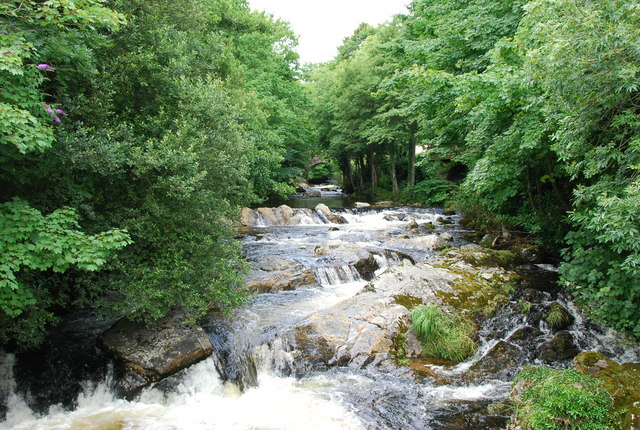
Ivybridge River Walk
![]()
![]() The town of Ivybridge is in a splendid spot for exploring the Dartmoor National Park on foot. Two popular, waymarked trails start in the town making it easy to explore the surrounding area. The Two Moors Way is an epic 90 mile trail which runs all the way to Lynmouth on the coast. The Erme Plym Trail also begins in Ivybridge and will take you to Plymouth along two lovely rivers. In fact the early history of the town is marked by its status as an important crossing-point over the River Erme on the Exeter-to-Plymouth route. In the 16th century several mills were built using the River Erme's power.
The town of Ivybridge is in a splendid spot for exploring the Dartmoor National Park on foot. Two popular, waymarked trails start in the town making it easy to explore the surrounding area. The Two Moors Way is an epic 90 mile trail which runs all the way to Lynmouth on the coast. The Erme Plym Trail also begins in Ivybridge and will take you to Plymouth along two lovely rivers. In fact the early history of the town is marked by its status as an important crossing-point over the River Erme on the Exeter-to-Plymouth route. In the 16th century several mills were built using the River Erme's power.
This river walk from the town uses a section of the Erme Plym Trail to take you to the nearby village of Ermington. It's about a 3 mile walk to the village so 6 miles there and back. The route uses a fairly flat waymarked trail with nice views of the surrounding countryside. On the way you will pass Lower Keaton and Thornham before coming into Ermington. Here you can enjoy refreshments at the Crooked Spire Pub at the half way point of the walk. The pub is named after the well known local church with its unusual crooked spire.
To continue your walking around the town pick up the Two Moors Way and head north out of the town. You can then branch off to the east to climb to Western Beacon. It's a popular local walk which provides fine views over the town and nearby South Hams.
Ivybridge Ordnance Survey Map  - view and print off detailed OS map
Ivybridge Open Street Map  - view and print off detailed map
*New* - Walks and Cycle Routes Near Me Map - Waymarked Routes and Mountain Bike Trails>>
Ivybridge OS Map  - Mobile GPS OS Map with Location tracking
Ivybridge Open Street Map  - Mobile GPS Map with Location tracking
Further Information and Other Local Ideas
The town's first manmade landmark is the Ivy Bridge; a 13th-century hump-backed bridge covered in Ivy. It is still in use today and gives the name of the town. The two remaining industrial landmarks are the viaduct over the River Erme and the paper mill. The original viaduct was built by Isambard Kingdom Brunel in 1848, but only the granite piers remain today.
Just to the north east is the village of South Brent. The circular walk from here will take you along the River Avon to the impressive Avon Dam. Historic South Brent is also worth exploring with a Norman church and a fine local pub dating back to medieval times.
Cycle Routes and Walking Routes Nearby
Photos
Park, Ivybridge The path runs alongside the River Erme from the fire station to the leisure centre. This area of open space is between the river and housing on Paddock Way.


