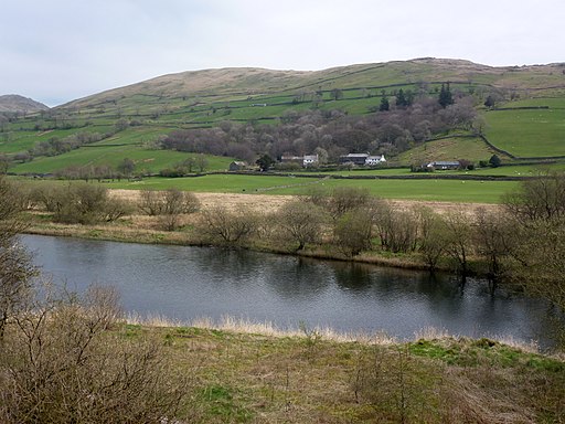
Kentmere Reservoir Walk
![]()
![]() This circular walk visits Kentmere Reservoir from the village of Kentmere in the Lake District.
This circular walk visits Kentmere Reservoir from the village of Kentmere in the Lake District.
You start of from Kentmere where you can follow public footpaths north to the reservoir. It's about a 2.5 mile walk to the water, following the River Kent on a gently ascending path. At the reservoir there's some other footpaths on either side with fine views across the water to the surrounding fells. It's a very tranquil spot and a lovely place to relax and get away from it all.
To continue your walking in the area, you could head south of the village to visit Kentmere tarn. There's also the option of picking up the popular Kentmere Horseshoe. This challenging walk visits some of the prominent fells of the valley, including Yoke and Ill Bell which lies just to the west.
Kentmere Reservoir Ordnance Survey Map  - view and print off detailed OS map
Kentmere Reservoir Open Street Map  - view and print off detailed map
Kentmere Reservoir OS Map  - Mobile GPS OS Map with Location tracking
Kentmere Reservoir Open Street Map  - Mobile GPS Map with Location tracking
Further Information and Other Local Ideas
Kentmere Tarn is located just to the south of Kentmere village. You can follow a footpath south from Kentmere Hall to reach the tarn as an extension to the walk. It's a very pretty and peaceful area with the little tarn surrounded by rolling countryside.


Above: Kentmere Tarn near the start of the walk
Head south from the village along the River Kent and you could visit neighbouring Staveley where you can pick up the epic Dales Way and enjoy refreshment in the splendid riverside pub.


