Yoke Walk
6.1 miles (9.8 km)
![]()
![]() This walk climbs to Yoke Fell in the eastern part of the Lake District National Park.
This walk climbs to Yoke Fell in the eastern part of the Lake District National Park.
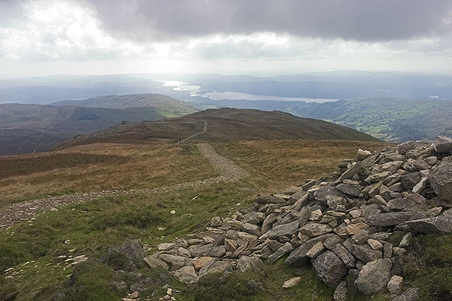
The route starts from Kentmere, following a section of the Kentmere Horseshoe west to Stunfell Howe and Garburn Nook. You then turn north to climb to the 706 m (2,316 ft) high summit of Yoke. From here there are fine views of Windermere, Morecambe Bay and the fells around Coniston.
You can continue your walking in the area by heading to the nearby Kentmere Reservoir where there is a lovely waterside trail and more great views.


