Kettleshulme Walks

 This Cheshire based village sits close to the border with Derbyshire in the valley of the Todd Brook in the Pennines.
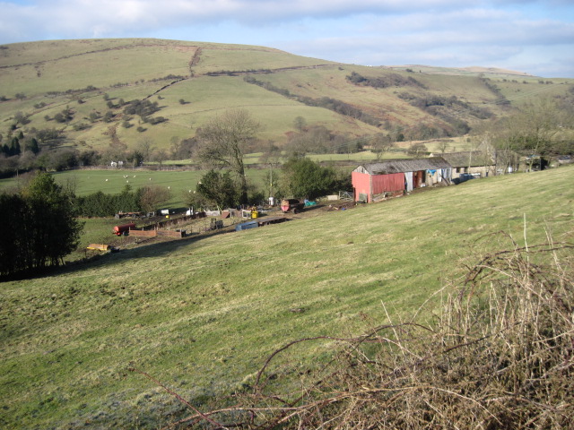
The village is surrounded by a photogenic, undulating landscape of limestone and gritstone. It's a popular area for walkers with several local reservoirs and the splendid Lyme Park just a few miles to the north.
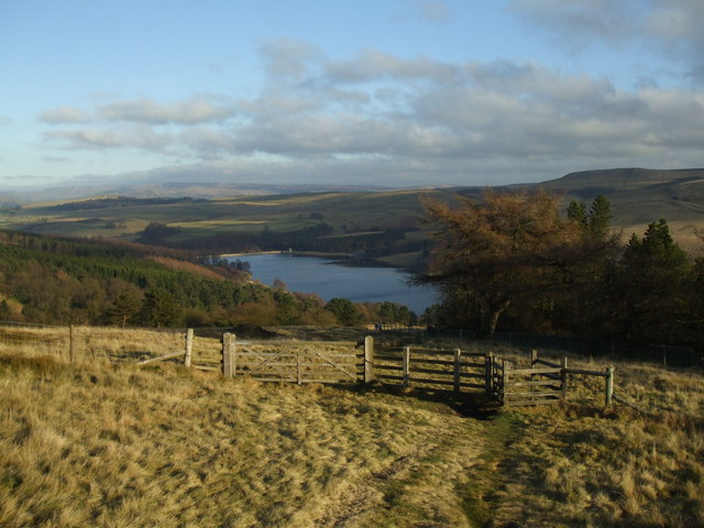
This circular walk from the village takes you to some of the local walking highlights including the viewpoints at Windgather Rocks and Pym Chair. You'll then go on to enjoy the waterside trails at Errwood Reservoir and Fernilee Reservoir. The reservoirs lie just to the south east of the village in the beautiful valley of the River Goyt.
To continue your walking around Kettleshulme you could head west to pick up the
Gritstone Trail and follow it north to visit Lyme Park. The park includes resident deer, lakes, woodland trails, an historic house and hill climbs with some wonderful views towards Manchester.
Kettleshulme Ordnance Survey Map  - view and print off detailed OS map
Kettleshulme Open Street Map  - view and print off detailed map
Kettleshulme OS Map  - Mobile GPS OS Map with Location tracking
Kettleshulme Open Street Map  - Mobile GPS Map with Location tracking
Walks near Kettleshulme
- Lyme Park - This is a circular walk through the splendid Lyme Park in Disley, Cheshire
- Whaley Bridge - This walk from the train station takes you through the Goyt Valley to three reservoirs to the south of the town
- Windgather Rocks - This walk visits this interesting gritstone crag which is popular with rock climbers
- Shining Tor and Cats Tor - Climb to the highest point in Cheshire on this wonderful walk in the Goyt Valley.
The walk starts from the Erwood Hall Car Park at the southern end of Erwood Reservoir - Errwood Reservoir and Fernilee Reservoir - Enjoy some lovely waterside walking along these two reservoirs in the Goyt Valley area of the Peak District
- Toddbrook Reservoir - Enjoy a short waterside walk along this pretty reservoir in Whaley Bridge
- Lamaload Reservoir - This circular walk takes you around the pretty Lamaload Reservoir near Macclesfield in the Peak District National Park
- Eccles Pike - This is a popular climb to Eccles Pike from Whaley Bridge in the Peak District
- Chinley Churn and Cracken Edge - Climb Chinley Churn and enjoy super views over the Peak District towards Kinder Scout on this circular walk.
The walk starts from Chinley train staion and takes you over Cracken Edge to Chinley Churn - Combs Reservoir - This circular walk takes you around Combs Reservoir near Chapel-en-le-Frith on the edge of the Peak District National Park
- Kinder Downfall - Climb to the tallest waterfall in the Peak District on this circular walk from the Peak District village of Hayfield
- Kinder Reservoir - This walk takes you to Kinder Reservoir from Hayfield along the Snake Path
- Kinder Scout - Explore the Kinder plateau on this exhilarating and challenging circular walk from the popular village of Edale
- Jacob's Ladder - A circular walk from Edale visiting Jacob's Ladder, Edale Cross, Mount Famine, Rushup Edge and Lord's Seat
- Chapel en le Frith - This small Derbyshire town is located close to some classic Peak District walks, with stunning scenery in all directions
- Peak Forest Canal - Travel from Derbyshire into Greater Manchester on this waterside walk along the Peak Forest Canal
- Castle Naze - This walk visits an elevated fort near Chapel en le Frith in the White Peak area of the Peak District.
- Gritstone Trail - This beautiful, challenging walk runs through the Peak District from Disley to Kidsgrove.
The walk begins at the train station at Disley and soon comes to the wonderful Lyme Park (video below) with its mansion house and Medieval deer park - Pym Chair - This short circular walk explores the immediate area around the Pym Chair car park on the Derbyshire/Cheshire border in the Peak District National Park.
Pubs/Cafes
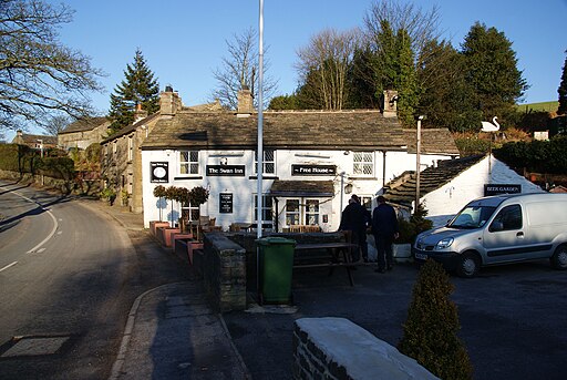
The Swan Inn is a great place for rest and refreshments after your walk. The historic pub dates back to the 15th Century and includes timber beams and an open log fire in Winter. There are two outdoor patio areas for warmer weather. You can find them at postcode SK23 7QU.
They also provide car parking and are dog friendly.


