Kinder Downfall

 Climb to the tallest waterfall in the Peak District on this circular walk from the Peak District village of Hayfield. From the high points on the walk there are splendid views towards Liverpool, Manchester and North Wales. Also look out for mountain hares as you make your way along the route.
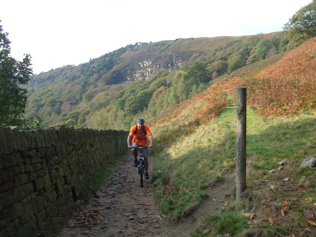
Starting from Hayfield follow the Kinder Road up to Kinder Reservoir. Follow the footpath north along the water to William Clough on Leygatehead Moor, where there's pretty heather to see during the summer.
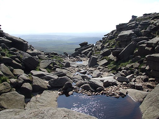
Just before Ashop Head you reach the Pennine Way which you follow south east to Sandy Heys and Kinder Downfall. The 30-metre (98 ft) high falls are an impressive sight after rainy weather. When there is a strong west wind the water is blown back on itself, creating a cloud of spray which can be seen from several miles away.
From the falls you continue south along the Pennine Way to Kinder Low one of the highest points on the plateau. It stands at 633m and includes a white trig pillar.
You descend south to Edale Rocks where you turn to the west towards Kinderlow Cavern and back into Hayfield.
To further explore the magnificent plateau try our Kinder Scout From Edale Walk or the Jacob's Ladder circular walk.
Kinder Downfall Ordnance Survey Map  - view and print off detailed OS map
Kinder Downfall Open Street Map  - view and print off detailed map
Kinder Downfall OS Map  - Mobile GPS OS Map with Location tracking
Kinder Downfall Open Street Map  - Mobile GPS Map with Location tracking
Pubs/Cafes
After your walk we recommend heading to the appropriately named Lantern Pike Inn in Hayfield. The interesting old pub dates from 1792, and has a very good menu. There's also a nice outdoor seating area where you can relax outside and enjoy views of the surrounding hills. You can find the pub in the village on 45 Glossop Rd, Little Hayfield with postcode SK222NG for your sat navs. The pub also does accommodation so you can stay over here if you need to.
Further Information and Other Local Ideas
In Hayfield you could pick up the popular Sett Valley Trail. The shared cycling and walking trail runs along a disused railway line to New Mills. On the way there's bluebell woods, another small reservoir and a delightful little cafe to stop off at.
For more walking ideas in the area see the Peak District Walks page.


