Kimbolton Walks
![]()
![]() This Cambridgeshire based town has some nice country trails and significant local reservoir in the shape of Grafham Water which lies just to the east of the settlement. In the town there's also views of the River Kym and the historic Kimbolton Castle to visit.
This Cambridgeshire based town has some nice country trails and significant local reservoir in the shape of Grafham Water which lies just to the east of the settlement. In the town there's also views of the River Kym and the historic Kimbolton Castle to visit.
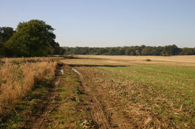
This circular walk explores the countryside to the west of the town around Kimbolton Park. On the way there's some nice trails around Honeywell Wood and good views from the viewpoints around Hungry Hill.
Kimbolton Ordnance Survey Map  - view and print off detailed OS map
Kimbolton Open Street Map  - view and print off detailed map
Kimbolton OS Map  - Mobile GPS OS Map with Location tracking
Kimbolton Open Street Map  - Mobile GPS Map with Location tracking
Walks near Kimbolton
- Grafham Water Circular Ride - A cycle and walking route around the beautiful Grafham Water in Cambridgeshire.
The route passes through woodland and the villages of Grafton and West Perry - The Three Shires Way - The Three Shires Way is a long distance bridleway which runs between Tathall End in north-east Buckinghamshire and Grafham Water in Cambridgeshire
- Paxton Pits - Visit this delightful nature reserve in Little Paxton and enjoy a series of well laid out, waterside walking trails
Further Information and Other Local Ideas
In the town there's also the historic Kimbolton Castle to see. The castle is notable as the final home of King Henry VIII's first wife, Catherine of Aragon.
To continue your walking in the area you could visit the nearby Brampton Wood or Paxton Pits. The long distance The Three Shires Way can also be picked up nearby.
For more walking ideas in the area see the Cambridgeshire Walks page.
Photos
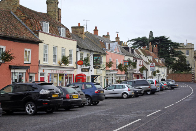
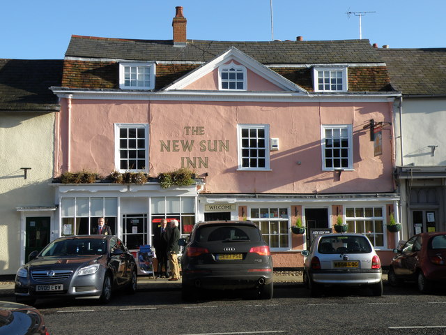
Looking along the High Street towards Kimbolton School. This was once the A45 (the principal Midlands - East Anglia route) and was a serious bottleneck, especially at the eastern end of the High Street where road negotiates a series of tight narrow bends. Today the road has been downgraded to the B645 (long-distance traffic is now routed via the A14, a few miles to the north) and as a result Kimbolton is a much more peaceful place. The attractive architecture, selection of small shops and pleasant pubs give the village an olde-world atmosphere.
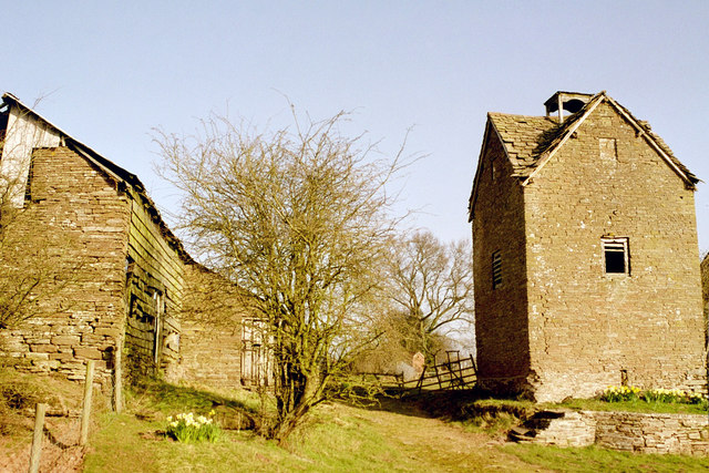
Barn (left) and dovecot (right) at Upper Bache, Kimbolton, Herefordshire. The dovecot is early 18th-century and is Grade II listed. The view is roughly northwest.


