Kirkham Abbey Walk

 A circular walk around the historic site of Kirkham Abbey in the Howardian Hills. There's much to enjoy with fascinating history, beautiful Ryedale countryside, moderate hill climbs, riverside paths and some pleasant woodland sections on the way.
The route starts at the atmospheric ruins of the 12th century Kirkham Priory. Enjoy a stroll around the grounds where you can see the stunning Gothic architecture of the Gatehouse.
From the abbey you pick up a section of the Centenary Way to take you east towards Firby. A woodland section through the Coldwell Plantation follows before coming to the River Derwent. You follow the river round to the Suspension Bridge at Huttons Ambo where you cross to the village of Low Hutton.
The path then follows a track west to Hutton Hill and Chanting Hill, with nice views from the high points. Please take care when crossing the A64 road on this section.
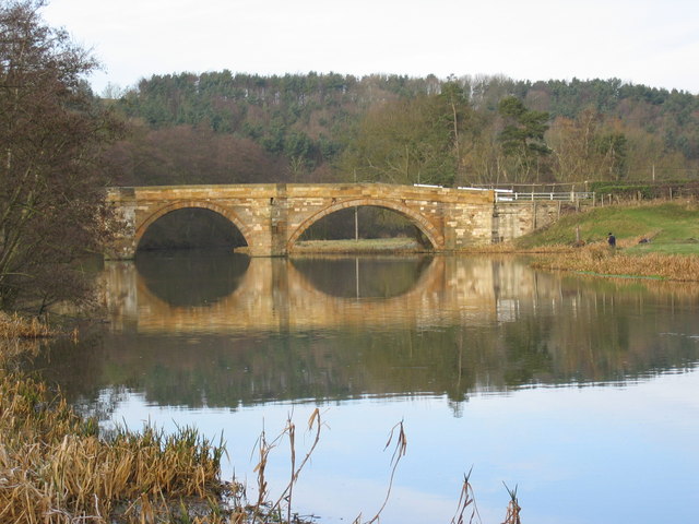
You then descend to the village of Crambeck before following woodland trails along the Derwent to Kirkham Bridge. Cross the bridge and you will soon return to the priory.
To extend your walking in the area you could follow the Centenary Way, north along the Derwent to the nearby town of Malton. Here you can enjoy a visit to the fascinating Derventio Brigantum Roman Fort.
In nearby Coneysthorpe you could visit Castle Howard. The site includes 1000 acres of parkland and gardens surrounding a fine stately home.
You could also try the Helmsley to Rievaulx Abbey where there are more wonderful abbey ruins to see. Walter l'Espec, lord of nearby Helmsley, built both Rievaulx Abbey and Kirkham Abbey in the 12th century.
Postcode
YO60 7JS - Please note: Postcode may be approximate for some rural locationsPlease click here for more information
Kirkham Abbey Ordnance Survey Map  - view and print off detailed OS map
Kirkham Abbey Open Street Map  - view and print off detailed map
Kirkham Abbey OS Map  - Mobile GPS OS Map with Location tracking
Kirkham Abbey Open Street Map  - Mobile GPS Map with Location tracking
Pubs/Cafes
Head to the nearby Stone Trough Inn for some refreshments after your walk. The fine stone built inn has a cosy interior with real fires to enjoy. Outside there's a lovely garden area and a terrace with fine views over this beautiful area. They have a good menu and a decent selection of real ales too. You can find the pub just east of the abbey at Whitwell on the Hill with postcode YO60 7JS for your sat navs.
Dog Walking
The grounds are ideal for a dog walk with nice river paths and woodland trails on the south side of the water in Oak Cliff Wood. It's requested you keep them on leads in the abbey grounds. The Stone Trough Inn mentioned above is also dog friendly.
Further Information and Other Local Ideas
To extend the walk you could head south on footpaths along the river to nearby Howsham and Scrayingham.
For more walking ideas in the area see the Howardian Hills Walks page.


