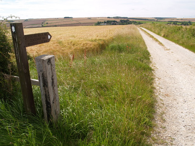
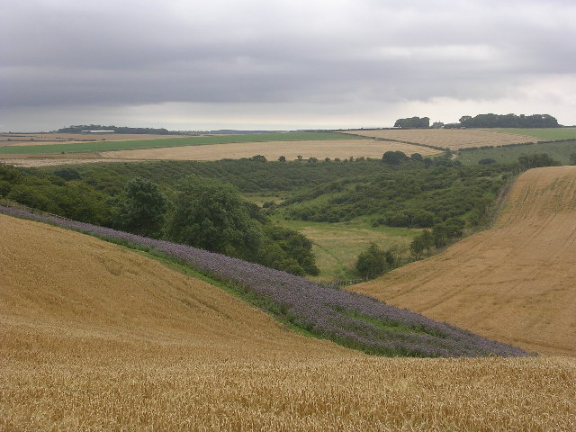
Centenary Way Yorkshire
![]()
![]() Explore the Howardian Hills and the Yorkshire Wolds on this splendid walk devised to celebrate the 100th anniversary of Yorkshire County Council. The walk starts at the fabulous York Minster next to the Roman York Walls in the historic city.
Explore the Howardian Hills and the Yorkshire Wolds on this splendid walk devised to celebrate the 100th anniversary of Yorkshire County Council. The walk starts at the fabulous York Minster next to the Roman York Walls in the historic city.
It then runs all the way to Filey Brigg on the Yorkshire coast.
The walk includes:
- Riverside sections along the River Foss near York, and along the River Derwent near Malton.
- Sheriff Hutton Castle - 12th century ruined castle and Grade I listed building
- Castle Howard - 'One of the World's Top Ten Greatest Mansions and Grand Houses' - according to Lonely Planet's 1,000 Ultimate Sights. Home to the Howard family for over 300 years, Castle Howard is a magnificent 18th-century residence set within 1,000 acres of breathtaking landscape in the Howardian Hills. (video below)
- Kirkham Abbey - Owned by English Heritage these Augustinian ruins are situated between York and Malton, next to the River Derwent.
- Filey - the final coastal section in Filey is another major route highlight
- Wharram Percy - the route passes through the remains of this fascinating medieval village which dates from the 10th century.
Towns/cities on the route include:
York
Huntington
New Earswick
Strensall
Sheriff Hutton
Terrington
Slingsby
Coneysthorpe
Castle Howard
Welburn
Low Hutton
Malton
Norton
Settrington
North Grimston
Birdsall
Thixendale Wharram Percy
Wintringham
West Heslerton
Sherburn
Potter Brompton
Ganton
Hunmanby
Filey
The walk is waymarked with the letters CW on standard waymarks.
Centenary Way Yorkshire Ordnance Survey Map  - view and print off detailed OS map
Centenary Way Yorkshire Open Street Map  - view and print off detailed map
Centenary Way Yorkshire OS Map  - Mobile GPS OS Map with Location tracking
Centenary Way Yorkshire Open Street Map  - Mobile GPS Map with Location tracking
Pubs/Cafes
The Grapes Inn in Slingsby is a good place for a pit stop on the walk. The historic pub dates back to 1759 and is Grade II listed. There's a cosy interior with two log fires and a nice garden area outside. Food is of a high quality and includes excellent pizzas from the wood-fired pizzeria. The pub can be found on Railway St, YO62 4AL.
Further Information and Other Local Ideas
The route is coincident with the Yorkshire Wolds Way for part of the trail. You could pick it up around Wharram Percy for example.
Cycle Routes and Walking Routes Nearby
Photos
Footpath to the Jeffry Bog Plantation. The footpath is seen crossing a drainage ditch en route to the plantation. It runs alongside the river Derwent, and on the north side of the river is the Scarborough - York railway line. The Jeffry Bog Plantation is a Nature Reserve run by the Yorkshire Wildlife Trust.
The Hall Kirkham. View from the Centenary Way footpath between Castle Howard Station and Kirkham Priory.
Elevation Profile


