GPS Cycle and Walking Routes

Lancing Ring Circular Walk

2 miles (3 km)

This circular walk explores the Lancing Ring Nature Reserve in West Sussex.
The site includes good footpaths taking you to chalk grassland and decidous woodland. It's great for wildlife with butterflies, adders, common lizards and dragonflies by the dew pond. There's also lots of pretty wildflowers, including the early purple orchid.
From the high points in the reserve there are great views across the surrounding countryside.
To continue your walking in the area head south to the coast where you can enjoy a walk along the beach to Shoreham by Sea. Just to the east there's the River Adur to Bramber Castle Walk to try as well.

Lancing Ring OS Map - Mobile GPS OS Map with Location tracking

Lancing Ring Open Street Map - Mobile GPS Map with Location tracking

Cycle Routes and Walking Routes Nearby

Photos

Lancing Ring - geograph.org.uk - 24021

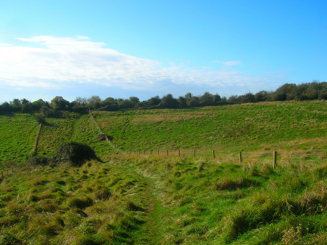
Lancing Ring. Looking SW from Lancing ring across the square towards the housing at Cokeham. The reserve boasts a rich and diverse array of species, and its ecological diversity is enhanced by the various habitats present within the nature reserve. These habitats encompass woodland, meadowland, pastureland, a dew pond, and an old chalk pit.

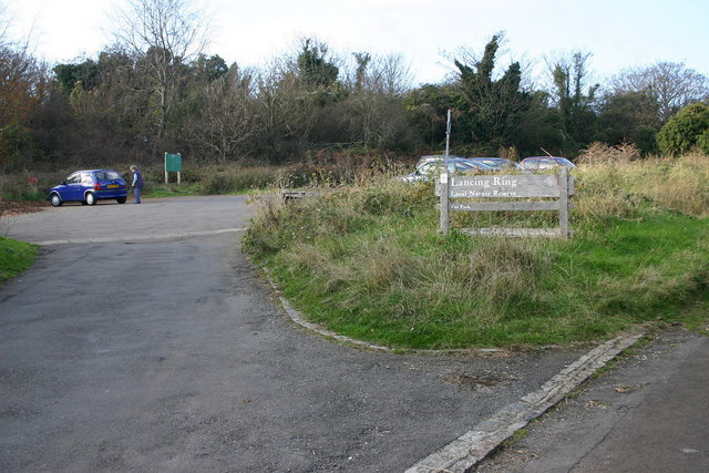
Lancing Ring Car Park - geograph.org.uk - 613985

Visitors to Lancing Ring can access the site from Mill Road through the primary car park. Additionally, Halewick Lane offers an area for parking, which is situated near the children's play area at the base of the hill.

Cowbottom Hovel - geograph.org.uk - 1012144

Cowbottom Hovel. A hovel was originally an open shelter for cattle or produce and only later gained the meaning for an unfit place to live. This one is on the land of Applesham Farm and is passed by the footpath heading south to Lancing Ring Nature Reserve.

Footpath to Lancing Ring Nature Reserve - geograph.org.uk - 1012351

Footpath to Lancing Ring Nature Reserve

The Dewpond on Lancing Ring - geograph.org.uk - 1551457

The Dewpond on Lancing Ring. Within the reserve's natural environment, visitors can encounter a remarkable range of plant species. Notable among them are reed mace, yellow flag iris, purple loosestrife, early purple orchids, wood anemones, arum lilies, spurge laurel, and sweet violet. These plants contribute to the area's unique and vibrant ecosystem, making Lancing Ring a haven for both nature enthusiasts and those seeking to appreciate its natural beauty.

View from Lancing Hill - geograph.org.uk - 2746768

View from Lancing Hill. The site's natural beauty and panoramic vistas across the Adur Valley and the southern coast, stretching from Brighton in the east to the Isle of Wight in the west, make it an ideal location for landscape photography.

Lancing Ring Footpath - geograph.org.uk - 613991

The reserve is a favored destination for birdwatching, attracting a diverse array of both resident and migratory bird species. Enthusiasts can expect to spot great spotted woodpeckers, skylarks, redwings, and jays in the area. Additionally, more familiar garden birds, such as blue tits and robins, are also known to make appearances. This makes Lancing Ring a wonderful location for birdwatchers to observe a broad spectrum of avian life in a natural and tranquil setting.

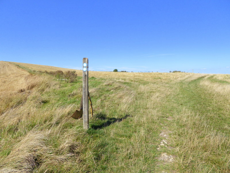
Bridleway junction on Steep Down - geograph.org.uk - 5114131

Bridleway junction on Steep Down

Video

GPS Files

GPX File

Lancing Ring.gpx (On Desktop:Right Click>'Save As. On Ipad/Iphone:Click and hold>Share>Save to Files')