Llanfair Caereinion Walks

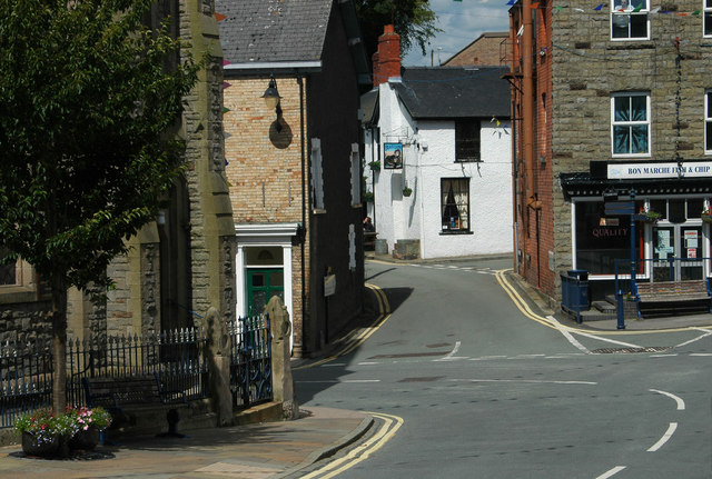
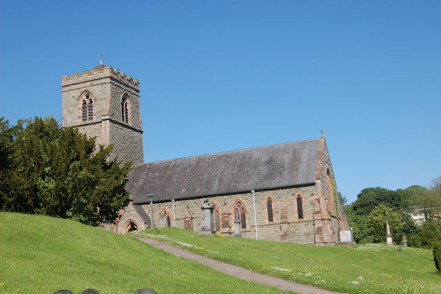
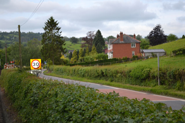
 Llanfair Caereinion is a small riverside town located in Montgomeryshire, Powys.
This walk in the village takes you to the River Banwy and the Llanfair Caereinion rail station. The station is the terminus for the Welshpool & Llanfair Light Railway. The wonderful heritage steam railway runs to Welshpool via Castle Caereinion. You could enjoy a scenic ride and then enjoy a stroll along the Montgomery Canal to the historic Powis Castle. You can also pick up the Glyndwr's Way and Offa's Dyke Path in this area. These long distance waymarked paths are an ideal way of further exploring the area on foot.
Postcode
SY21 0RP - Please note: Postcode may be approximate for some rural locationsLlanfair Caereinion Ordnance Survey Map  - view and print off detailed OS map
Llanfair Caereinion Open Street Map  - view and print off detailed map
Llanfair Caereinion OS Map  - Mobile GPS OS Map with Location tracking
Llanfair Caereinion Open Street Map  - Mobile GPS Map with Location tracking
Walks near Llanfair Caereinion
- Welshpool - This town in Powys is located close to the Welsh-English border on the Montgomery Canal.This walk takes you along a section of the canal from Welshpool to Berriew for a distance of about 5 miles using a flat path
- Montgomery Canal - Enjoy easy waterside cycling and walking along the Montgomery Canal through Powys and Shropshire
- Powis Castle - Explore the world-class gardens surrounding this historic castle in Welshpool.
- Glyndwr's Way - Starting at Knighton on the English/Welsh border follow this wonderful 135 mile long trail through some of the most stunning landscape in Wales
- Offa's Dyke Path - This incredible 177 mile trail starts on the River Severn Estuary in Gloucestershire in England before taking you over the border into Wales and on through some truly splendid mountainous scenery
- Rodney's Pillar - This walk climbs to Admiral Rodney's Pillar on Breidden Hill in Powys, near Welshpool.
- Shropshire Union Canal - Travel from the ourskirts of Wolverhampton to Ellesmere Port on this long distance waterside walk along the Shropshire Union Canal.
The route starts at Autherley Junction in the Oxley area of Wolverhampton
Pubs/Cafes
The Red Lion is located on Broad Street at postcode SY21 0RP. They serve fine home cooked food and have a lovely garden area to relax in. The pub is also dog friendly.


