Llangynog Walks
![]()
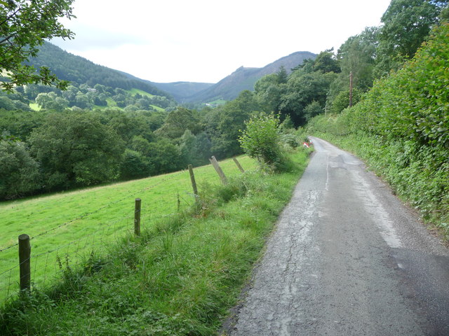
![]() This pretty North Welsh village sits in a fine spot at the confluence of the Rivers Tanat and Eirth. It is located at the foot of the stunning Berwyn Mountains with some fine walking trails to try.
This pretty North Welsh village sits in a fine spot at the confluence of the Rivers Tanat and Eirth. It is located at the foot of the stunning Berwyn Mountains with some fine walking trails to try.
The surrounding area is often coined the Welsh Lake District with Bala Lake, Lake Vyrnwy and Llyn Celyn all nearby.
This circular walk from the village climbs to Y Gribin before heading to the old quarries at Craig Rhiwarth. The scenery is very beautiful with great views of the Tanat Valley from the high points.
For a more challenging walk in the area head just a few miles north east to climb to Cadair Berwyn, the highest point in the Berwyn Mountains. Near here there's also the beautiful Pistyll Rhaeadr, another of the highlights of the immediate area.
Postcode
SY10 0EX - Please note: Postcode may be approximate for some rural locationsLlangynog Ordnance Survey Map  - view and print off detailed OS map
Llangynog Open Street Map  - view and print off detailed map
Llangynog OS Map  - Mobile GPS OS Map with Location tracking
Llangynog Open Street Map  - Mobile GPS Map with Location tracking
Walks near Llangynog
- Lake Vyrnwy - Follow the lakeside cycle lanes around this lovely reservoir on this circular ride in Powys
- Oswestry - This large market town near the Welsh border has some nice walking trails to try to the west
- Bala Lake - Bala Lake (or Llyn Tegid) is the largest natural lake in Wales
- Welshpool - This town in Powys is located close to the Welsh-English border on the Montgomery Canal.This walk takes you along a section of the canal from Welshpool to Berriew for a distance of about 5 miles using a flat path
- Cadair Berwyn - Climb to the highest point in the Berwyn Mountains range on this challenging walk in North East Wales
- Llyn Celyn - Enjoy a little stroll along this reservoir in the valley of the River Tryweryn
- Pererindod Melangell - Travel from Pont Llogel to Llangynog and enjoy fabulous views of Lake Vyrnwy on this challenging walk
- Pistyll Rhaeadr - This circular walk visits a spectacular 240-foot (73 m) waterfall regarded as one of the Seven Wonders of Wales
- Llanarmon Dyffryn Ceiriog - This pretty village is located in a wonderful rural spot in the beautiful Upper Ceiriog Valley near Wrexham
- Llandrillo - This Denbighshire based village sits a few miles south of Corwen in the Berwyn Mountains
- Llanfyllin - This market town is located in Montgomeryshire, Powys
Pubs/Cafes
The New Inn is a nice place to enjoy rest and refreshment after your walk. The walker friendly inn serves good quality food which you can enjoy around the log fires in the cosy interior. If the weather is good then the garden area is a great place to relax. They also provide accommodation if you would like to stay in this lovely area. You can find them on Berwyn Street at a postcode of SY10 0EX for your sat navs.
Dog Walking
The area is a nice place for a dog walk, though some of the hills are quite steep. The New Inn mentioned above is also dog friendly.
Further Information and Other Local Ideas
To the west you'll find one of the highlights of the area at the beautiful Lake Vyrnwy. There's a great cycling and walking trail around the expansive reservoir, with lots of wildlife to look out for on the way.
To the north is Llandrillo where you'll find several listed buildings, views of the River Dee and the ancient Moel Ty Uchaf stone circle.


