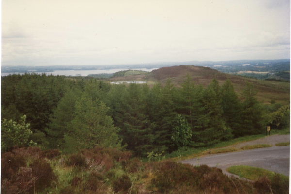
Lough Navar Forest Blackslee Waterfall Walk
 This circular walk visits the Blackslee Waterfall in the Lough Navar Forest in County Fermanagh.
The expansive coniferous forest includes miles of walking trails with wonderful viewpoints from the Magho cliffs.
This walk visits one of the scenic highlights of the forest at the Blackslee Waterfall. The secluded waterfall can be reached on peaceful woodland trails from the Blackslee Waterfall Walk Parking area just to the west of the falls.
Along the way you can look out for a number of willow sculptures and some interesting flora and fauna. Keep your eyes peeled for Wood Sorrel, Wild Garlic, Bluebells and a variety of woodland birds.
On the edge of the forest there's also the popular Magho Viewpoint where you can enjoy a bird's eye view of the Sperrin Mountains, the coast and Lower Lough Erne and its islands.
To continue your walking in the area head east to the other side of the lough where you can visit Castle Archdale. The historic country park estate includes a fascinating museum, pretty gardens and some lovely waterside trails along the lough.
Lough Navar Forest Open Street Map  - view and print off detailed map
Lough Navar Forest Open Street Map  - Mobile GPS Map with Location tracking
Further Information and Other Local Ideas
Head south and you could enjoy a climb to Cuilcagh Mountain, the highest point in the Breifne Mountains. The splendid Stairway to Heaven Walk and the Cladagh Glen and Marble Arch Caves Walk can also be picked up in this area.


