Lunt Meadows

 This walk visits the wildlife rich Lunt Meadows Nature Reserve on Merseyside.
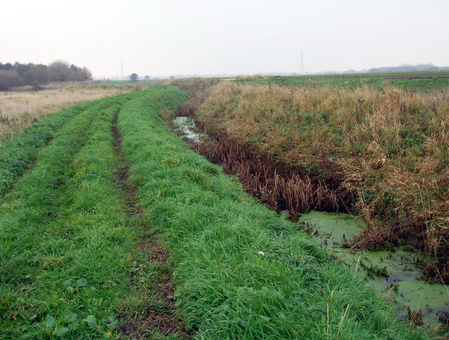
The large wetland area has some pleasant footpaths taking you to the River Alt and the village of Sefton. It's a fantastic place for bird watching with species such as heron, lapwings, redshank, dunlin and oystercatchers to look out for.
In Sefton you can visit the old church and enjoy some post walk refreshments in the noteworthy local pub.
To extend your waterside walking you could head a short distance east to Maghull where you can pick up the towpath of the Leeds and Liverpool Canal. The epic Trans Pennine Trail can also be picked up here.
Postcode
L29 8YA - Please note: Postcode may be approximate for some rural locationsPlease click here for more information
Lunt Meadows Ordnance Survey Map  - view and print off detailed OS map
Lunt Meadows Open Street Map  - view and print off detailed map
Lunt Meadows OS Map  - Mobile GPS OS Map with Location tracking
Lunt Meadows Open Street Map  - Mobile GPS Map with Location tracking
Pubs/Cafes
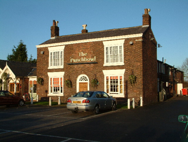
In Sefton you could enjoy some rest and refreshment at the Punchbowl. The historic pub is located on the original site of the Grand National Steeplechase course. They serve high quality dishes and have a lovely garden to relax in on warmer days. You can find them at postcode L29 7WA for your sat navs.
Dog Walking
The reserve is a good place to bring your dog for a walk though you are requested to keep them on leads. The Punchbowl mentioned above is also dog friendly.
Cycle Routes and Walking Routes Nearby
Photos
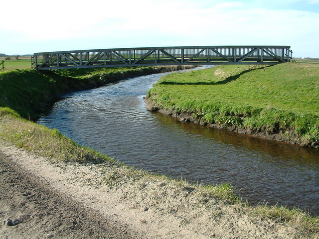
Showrick Bridge. Large foot bridge over the River Alt on a footpath from Bells Lane Lydiate to Sefton and Lunt. There has been a bridge here from as early as the 18th century. The bridge was destroyed for military reasons in 1915 by the armed forces, it is not known what the reasons were. The bridge was not replaced after the war. In 1959 following historical research by The Ramblers Association, a public inquiry established that the footpaths between Sefton and Lunt Village and Bells Lane Lydiate were public footpaths. The new Showrick Bridge was built by Sefton Council in partnership with Lancashire County Council in 1998 with grant support from the Countryside Commission and The Environment Agency.


