Lyme Regis to Golden Cap Walk

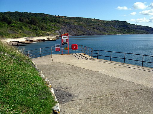
 Follow the coastal path from Lyme Regis to the splendid Golden Cap Estate on the Jurassic Coast. It's about a 4.5 mile walk from the town to the estate with beaches, cliffs, river views and some lovely countryside to enjoy on the way.
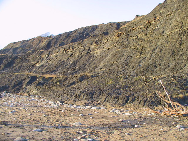
Starting on the front in Lyme Regis head east along the beach to Charmouth. You'll pass the cliffs at Black Ven and the Spittles which are a well known fossil hunting spot. Check the tide times before you start along the beach. If it's coming in it's best to follow inland paths to Charmouth. In the village visit the fascinating Charmouth Heritage Centre where you can see fossil collections and learn all about the geology of the Jurassic Coast.
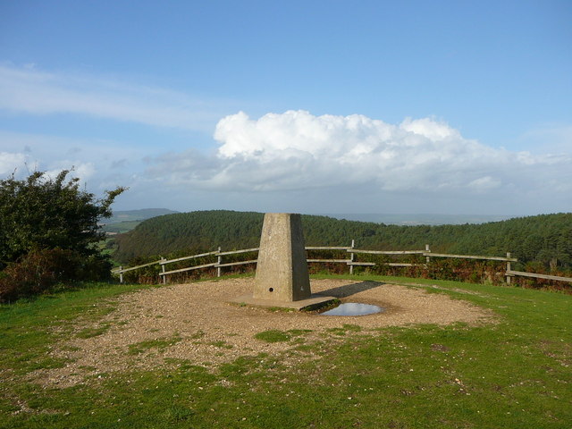
After exploring the village continue east, crossing the River Char on the footbridge. You then climb up to the cliffs of Cain's Folly where you pick up a section of the South West Coast Path. This takes you along Broom Cliff before climbing to the trig point in the Golden Cap Estate. The high point stands at a height of 191 metres (627 ft), providing spectacular coastal views. The estate also includes some lovely woodland trails and a wide variety of flora and fauna to look out for. Keep your eyes peeled for rare orchids, wildflowers, haymeadows and unusual fungi in the woodland areas.
To extend your walking in the Lyme Regis area you could head east and try the popular Lyme Regis to Seaton Undercliff Walk.
Lyme Regis to Golden Cap Ordnance Survey Map  - view and print off detailed OS map
Lyme Regis to Golden Cap Open Street Map  - view and print off detailed map
Lyme Regis to Golden Cap OS Map  - Mobile GPS OS Map with Location tracking
Lyme Regis to Golden Cap Open Street Map  - Mobile GPS Map with Location tracking
Pubs/Cafes
On the walk you could stop off at the Beach Cafe at Charmouth. There's a good range of meals, snacks and locally made cakes.
Next to the cafe there's also the Charmouth Heritage Coast Centre where you can see a wonderful fossil collection including an ichthyosaur that starred in the BBC documentary ‘Attenborough and the Sea Dragon’. There's also guided fossil hunting walks to try here.
Further Information and Other Local Ideas
Head a few miles inland from Lyme Regis and you could try the National Trust's Lamberts Castle to Coneys Castle Walk. The walk visits historic old hill forts where you can enjoy some stunning views over the countryside of the Marshwood Vale.


