Macclesfield Forest and Trentabank Reservoir
![]()
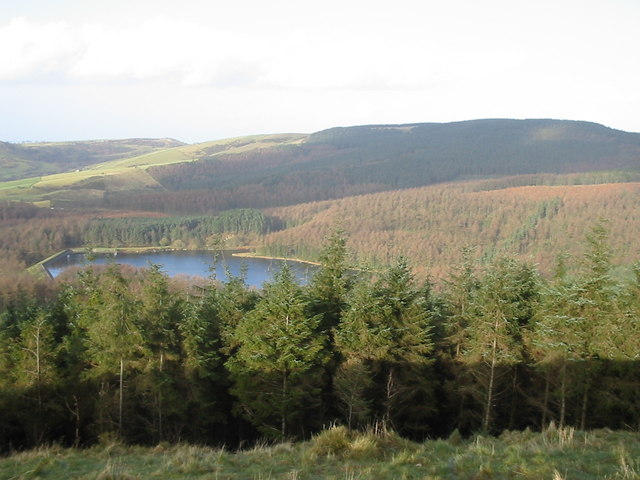
![]() This circular walk explores Macclesfield Forest and also pays a visit to the pretty Trentabank Reservoir on the western edge of the Peak District.
This circular walk explores Macclesfield Forest and also pays a visit to the pretty Trentabank Reservoir on the western edge of the Peak District.
The walk starts at the Standing Stone car park on the eastern edge of the forest. You then head west on good woodland footpaths through the conifer forest, passing along the Bollin Brook before arriving at Trentabank Reservoir. The area is great for wildlife spotting with a large heronry and other water loving birds such as common sandpiper, green sandpiper and little ringed plover. You may also see red deer in the woodland area. The area also include grassland with a variety of pretty plants and flowers including bluebell, tormentil, pignut, birdsfoot trefoil, foxglove and lesser knapweed.
From the reservoir the route heads south back into the woodland towards Nessit Hill before returning to the car park.
It's easy to extend your walking in this lovely area. You could head west past Ridegate Reservoir and pick up the Gritstone Trail and follow it to the excellent Tegg's Nose Country Park.
The forest is located a few miles south east of Macclesfield town.
Postcode
SK11 0NE - Please note: Postcode may be approximate for some rural locationsMacclesfield Forest and Trentabank Reservoir Ordnance Survey Map  - view and print off detailed OS map
Macclesfield Forest and Trentabank Reservoir Open Street Map  - view and print off detailed map
Macclesfield Forest and Trentabank Reservoir OS Map  - Mobile GPS OS Map with Location tracking
Macclesfield Forest and Trentabank Reservoir Open Street Map  - Mobile GPS Map with Location tracking
Pubs/Cafes
After your walk you can stop for refreshments at the excellent Leather's Smithy. This fine pub is located next to Ridgegate Reservoir, just to the east of Bottoms Reservoir. There's a great selection of ales and a nice beer garden to relax in when the weather is good. You can find the pub on Clarke Ln, at the north western tip of Ridgegate Reservoir. Postcode is SK11 0NE.
To the south of the forest there's the small village of Wildboarclough where you will find The Crag Inn. The historic inn was originally a farm built in 1629 and then later converted to a beer house 1825. There's two cosy real fires indoors and a nice garden area for warmer days. They have a car park and are also dog friendly. You can find them at postcode SK11 0BD for your sat navs. The Wildboarclough valley is also very attractive with its streams, Georgian mill and beautiful countryside. You could approach the forest from the south from here as an alternative route.
Dog Walking
The forest is a great place for dog walking with miles of wide trails to try. Please keep your dog on a lead for the safety of livestock though.
Further Information and Other Local Ideas
Just to the west there's Sutton Reservoir and Danes Moss Nature Reserve to explore. The reservoir is another nice place for a waterside stroll while the reserve has some pleasant boardwalks taking you over lowland raised bog. It's an interesting area with some rare flora and fauna to see. In this same area there's also the worthy village of Gawsworth. The village includes three noteworthy historic buildings including the 15th century Gawsworth Hall. The house and grounds of the historic Tudor house are well worth exploring.
Cycle Routes and Walking Routes Nearby
Photos
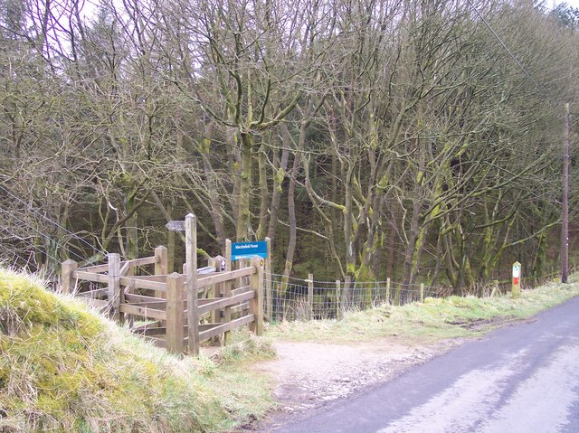
Charity Lane, Macclesfield Forest Footpath junction on Charity Lane. On the horizon to the right of the centre is the Cat and Fiddle Inn.


