Midsummer Hill
![]()
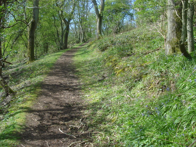
![]() This walk climbs to the Iron Age hill fort which spans Midsummer Hill in the Malvern Hills AONB. The route runs for just over a mile and includes a moderate climb. On the way there's some nice woodland trails with lots of pretty bluebells to look out for in the spring. After the short climb you will be rewarded with fine views over Worcestershire and Herefordshire.
This walk climbs to the Iron Age hill fort which spans Midsummer Hill in the Malvern Hills AONB. The route runs for just over a mile and includes a moderate climb. On the way there's some nice woodland trails with lots of pretty bluebells to look out for in the spring. After the short climb you will be rewarded with fine views over Worcestershire and Herefordshire.
The route starts from the parking area at Hollybush, off the A438, just to the south of the hill. From here you can pick up footpaths heading north through woodland toward Hollybush Hill. The hill lies just to the east of Midsummer Hill and is the site of an Iron Age hill fort which spans both hills. The hillfort is protected as a Scheduled Ancient Monument and is owned by Natural England. The site is considered unusual in that the ramparts enclose two hills and the intervening valley. It was built around 390 BC and it's thought that the settlement was occupied by 1500 people until it was destroyed by fire in AD 48.
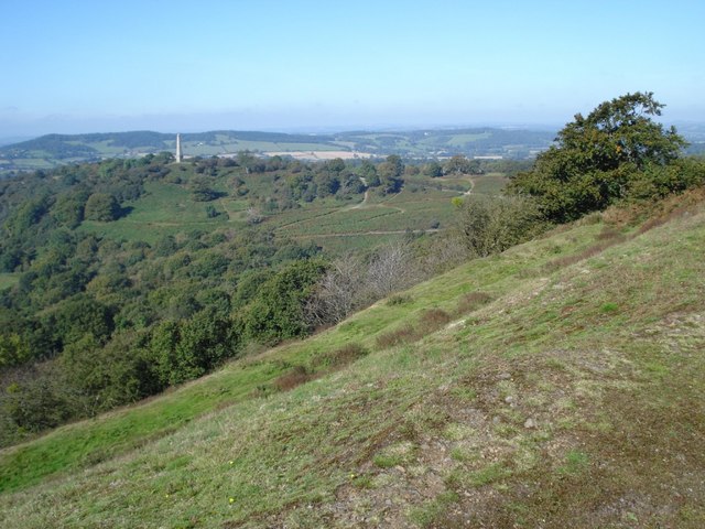
Midsummer Hill stands at a height of 284 m (932 ft) and commands fine views over the surrounding countryside. Most of the lovely Eastnor Deer Park is visible including the notable obelisk. After exploring the site the route picks up a section of the Worcestershire Way long distance trail to descend back to the car park.
To extend the walk you can continue north along the Worcestershire Way to the nearby Herefordshire Beacon and British Camp.
Postcode
HR8 1ET - Please note: Postcode may be approximate for some rural locationsMidsummer Hill Ordnance Survey Map  - view and print off detailed OS map
Midsummer Hill Open Street Map  - view and print off detailed map
Midsummer Hill OS Map  - Mobile GPS OS Map with Location tracking
Midsummer Hill Open Street Map  - Mobile GPS Map with Location tracking
Further Information and Other Local Ideas
For more walking ideas in the area see the Malvern Hills Walks page.
Cycle Routes and Walking Routes Nearby
Photos
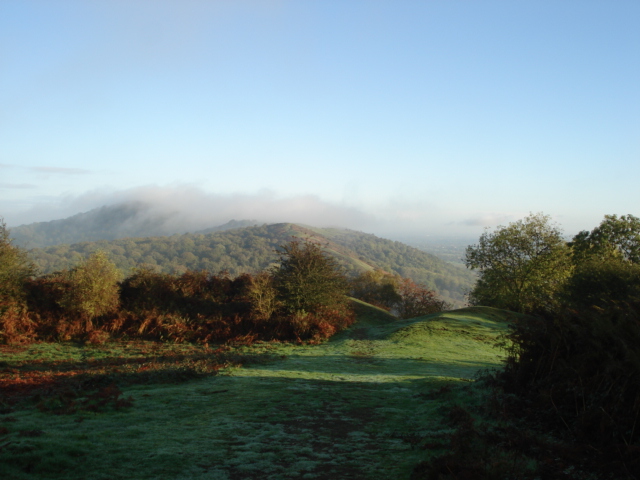
Approaching the North Gate of Midsummer Hill Fort with mist covering Swinyard Hill and the Hereford Beacon.
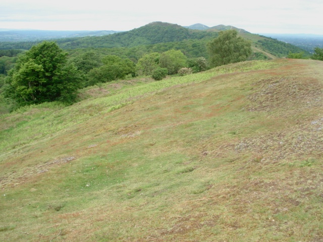
Midsummer Hill. Looking north with the spine of the Malverns ahead. The ditch of the hill fort is just above the tree line here.
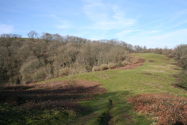
This relatively flat area was covered in small square iron age houses two thousand years ago. The top of Midsummer Hill adorned with its shelter is on the left of the picture. Extensive archaeological excavation was carried out here in the late 1960s by Dr Stan Stanford showing that the huts were continuously rebuilt on their own plots over several hundreds of years. Just about visible is the mediaeval rabbit warren in the middle of the picture.
